
State Route 30, Part 2.
16th St to Mountain Ave to 19th St in Upland.
After the Los Angeles/San Bernardino County line, Base Line Rd becomes 16th St. The route also makes two 90° turns within miles of each other. The first one, in Upland, has the route go north on Mountain Ave from 16th St then heads east onto 19th St. We enter Rancho Cucamonga on 19th St, historically accurate with SR 30 first definition after the great renumbering. At Haven Ave, SR 30 curved north but quickly turned right onto Highland Ave. Highland Ave carried most of SR 30 through Fontana, Rialto, San Bernardino and Highland until the route curved north onto City Creek Rd at the junction with SR 106 in Highland. The road's eastern terminus was in Running Springs at SR 18 prior to 1972. In 1972, the road was redefined. The City Creek Rd portion was defined as SR 330 - SR 30's first and only spur route. SR 106 was transferred to SR 30, therefore moving it's eastern terminus from SR 18 in Running Springs to I-10 in Redlands.
Prior to the redefinition, part of SR 30 was moved from Highland Ave in San Bernardino to an upgraded freeway alignment. This alignment ran from SR 259 to Highland Ave. Most of the alignment prior to Del Rosa Ave is an upgraded viaduct - possibly the lack of room is what's keeping this route from becoming I-210. The next section of freeway was completed in 1984, from I-10 (in Redlands) to 5th Street (in Highland). Finally, in 1992, the last segment which connected the two segments was built from Highland Ave (in San Bernardino) to 5th Street. Between that time, an extension was built from the interchange with SR 259 (usually signed 'TO I-15 South' back then) to I-15 (now I-215).
The highway was redirected south in the late 1970's when modern I-15 was being built, sending it on an overpass that curved south then back up to rejoin Highland. This, of course, was done on purpose. The bridge was repurposed later on as the flyover for the 210 EB to 15 NB connector. In 1998, construction was completed on the I-15/SR 30 interchange in Fontana/Rancho Cucamonga as well as a segment of freeway from Haven Ave to Citrus Ave, however the freeway didn't allow traffic until the Day Creek Blvd exit. This segment was later extended to Sierra Ave to the east, and was marked as SR 30 on the onramps and I-15 connectors to avoid local confusion. Legislatively, however, this was always SR 210. In the early 2000's, the segment from Foothill Blvd in La Verne (Los Angeles County) to Day Creek Blvd in Rancho Cucamonga (San Bernardino County) opened and CalTrans replaced the SR 30 signage along the route with SR 210 signs. Shortly thereafter, the route was extended to Alder Ave in Fontana, which remained the 210's signed terminus until the completion of the roadway to former SR 30 in San Bernardino in 2007. All remaining SR 30 signs on the freeway were replaced with SR 210 shields not long after, officially marking the end of SR 30.
Most of SR 30 in San Bernardino County has been repurposed after being relinquished, usually as side streets, however some segments were bypassed completely and one section was repurposed as a walking trail in Rancho Cucamonga which we will picture here as well. A segment of 19th St from Euclid Ave to Carnelian Ave in Upland has been completely reworked as a new shopping center was built. This route bears no resemblance to the original SR until we enter the city of Rancho Cucamonga. San Bernardino County has been more friendly to the route's heritage though leaving up mile markers every now and again.
|
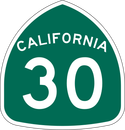
EB Base Line Rd/old SR 30. This area is undergoing roadwork thanks to the city of Upland which welcomes you just beyond that electronic sign. This segment isn't Base Line Rd for much longer.
|
|
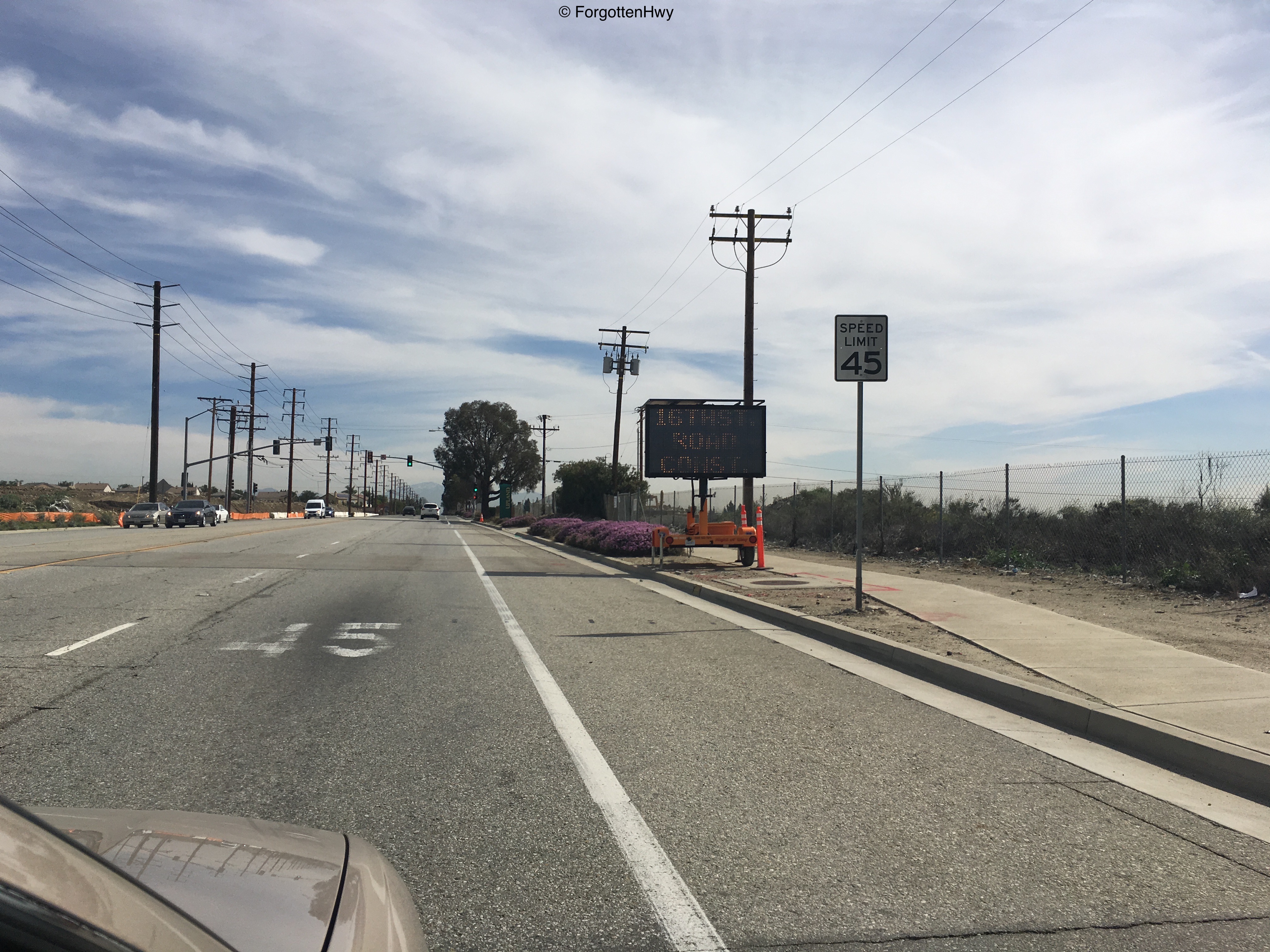
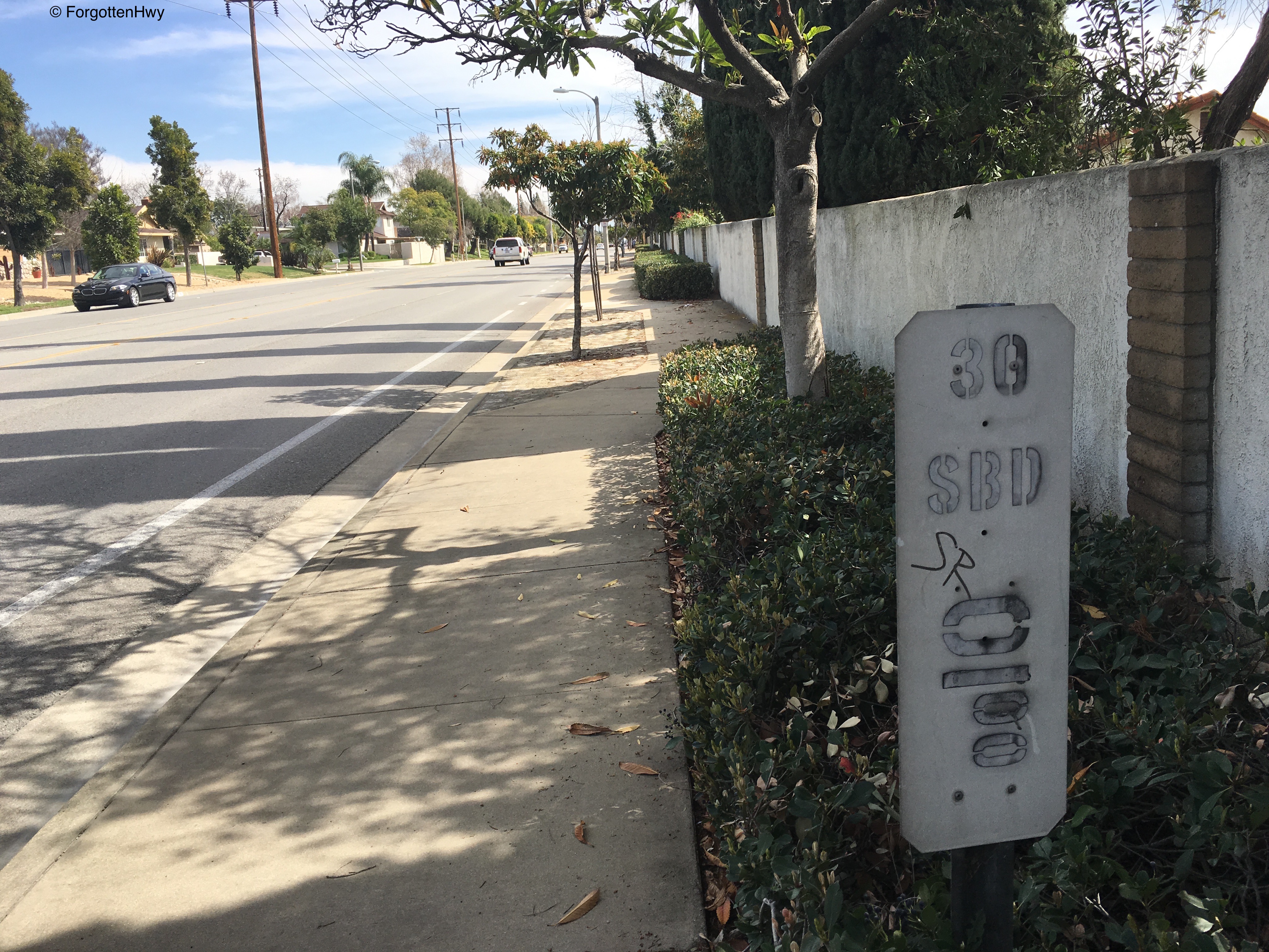
First Mile (albeit, only half) Marker after the Zero out. This one is well hidden in some bushes on the eastbound side but it's cousin is out in the open on the westbound side!
(Eastbound is on the left, westbound is on the right) |

|
|
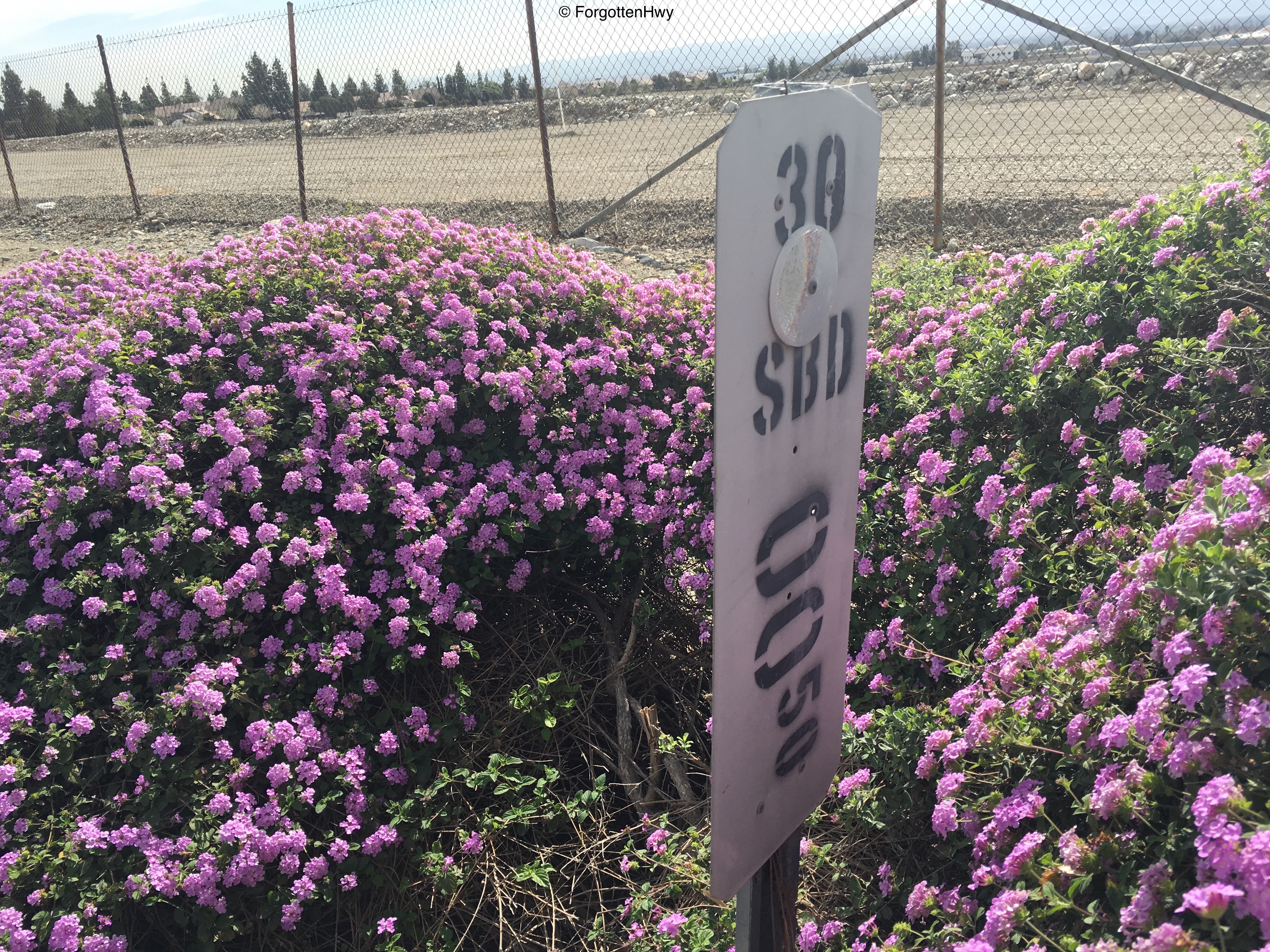
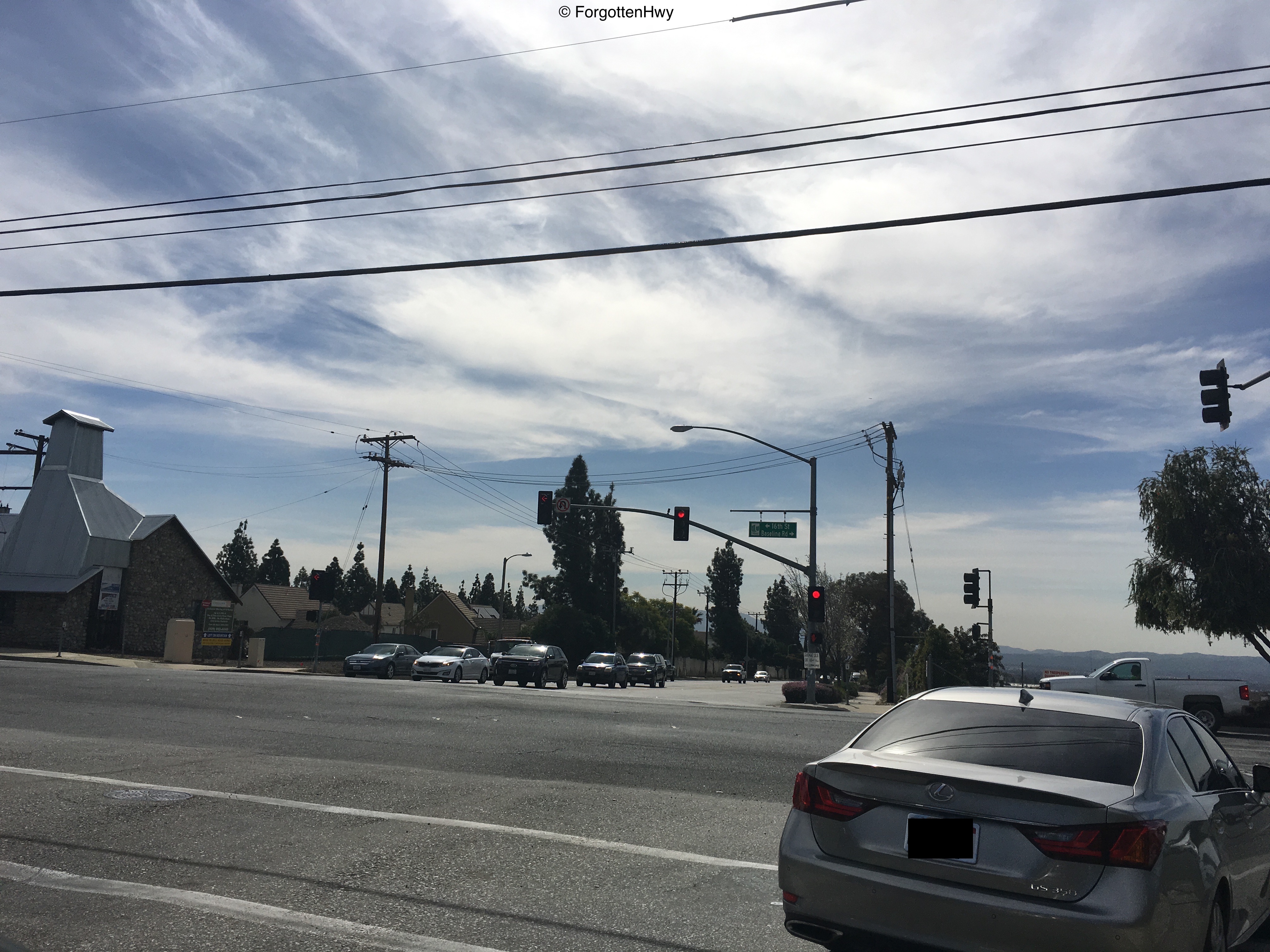
Junction: Benson Ave. Note that this picture is taken looking south so the sign is legible. Here we officially become 16th St. Thanks for ruining the fun Upland. (Note Base Line Rd. continue east all the way into Highland but bears no relationship to SR 30. Some cities have it as Base Line, others are Baseline. It's the same route).
|
|
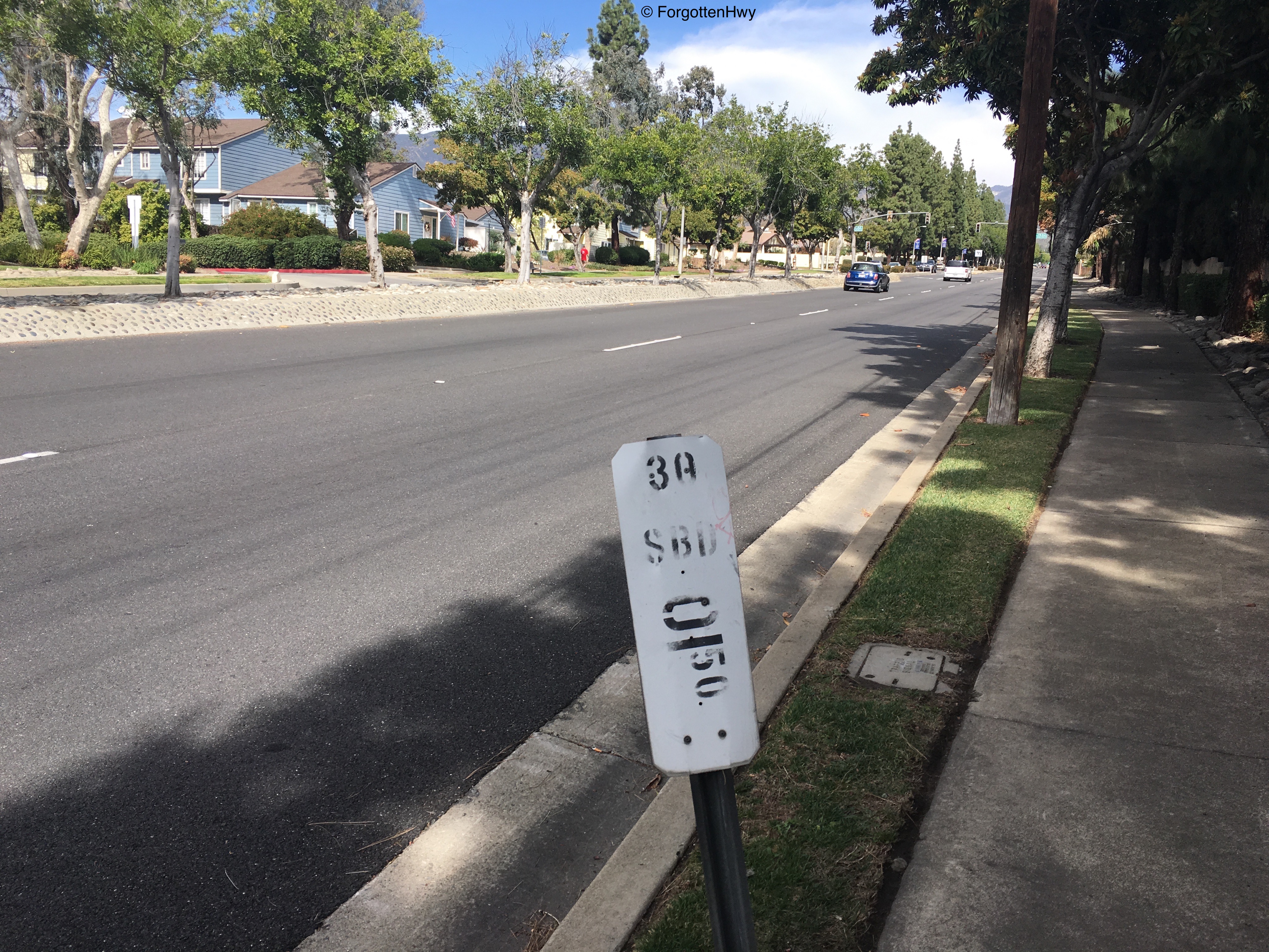
Our final mile markers on 16th St. The eastbound one is helpfully tagged SR to let you know that, yes, you are in fact on an old State Route (joking - it's graffiti). The one on the westbound side is a little... odd. See how high the number is compared to the other mile marker? It's also much darker then the route identifiers. Interesting.
|

|

|
Junction: Mountain Ave. Yes, that Mountain Ave. SR 30 officially goes north here on Mountain Ave until we reach 19th St. For my safety at this very busy intersection, I took this picture looking south/southeast. Westbound SR 30 would be turning right (west) here on 16th St, but eastbound SR 30 (and therefore us too) would turn left (north) onto Mountain Ave. Let's go!
|
|
Mile marker 1.5 is the only mile marker left on NB Mountain Ave, acting as a reassurance shield for eastbound SR 30 traffic.
|
|
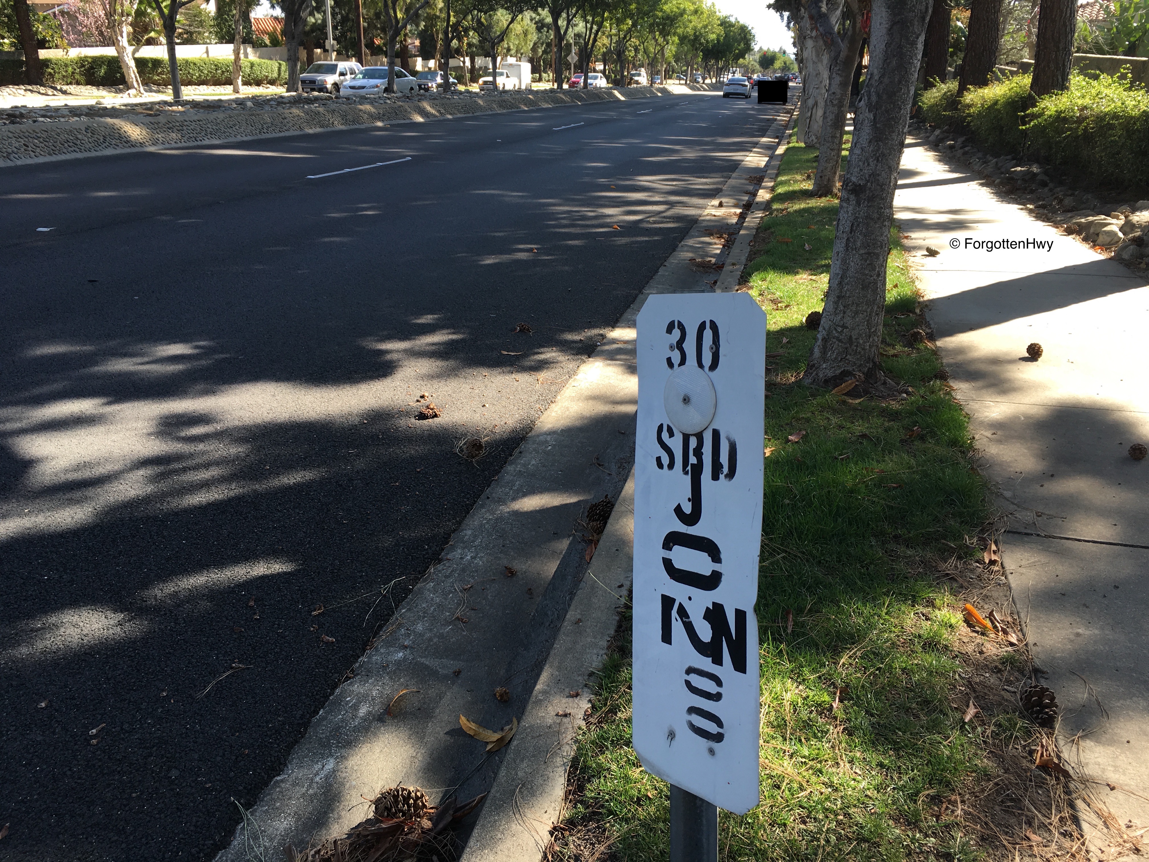
Mile marker two is the only mile marker left on SB Mountain Ave, acting as a reassurance shield for westbound SR 30 traffic.
For sake of organization, I'm moving this picture so it's in line with the other westbound pictures. |
|
|
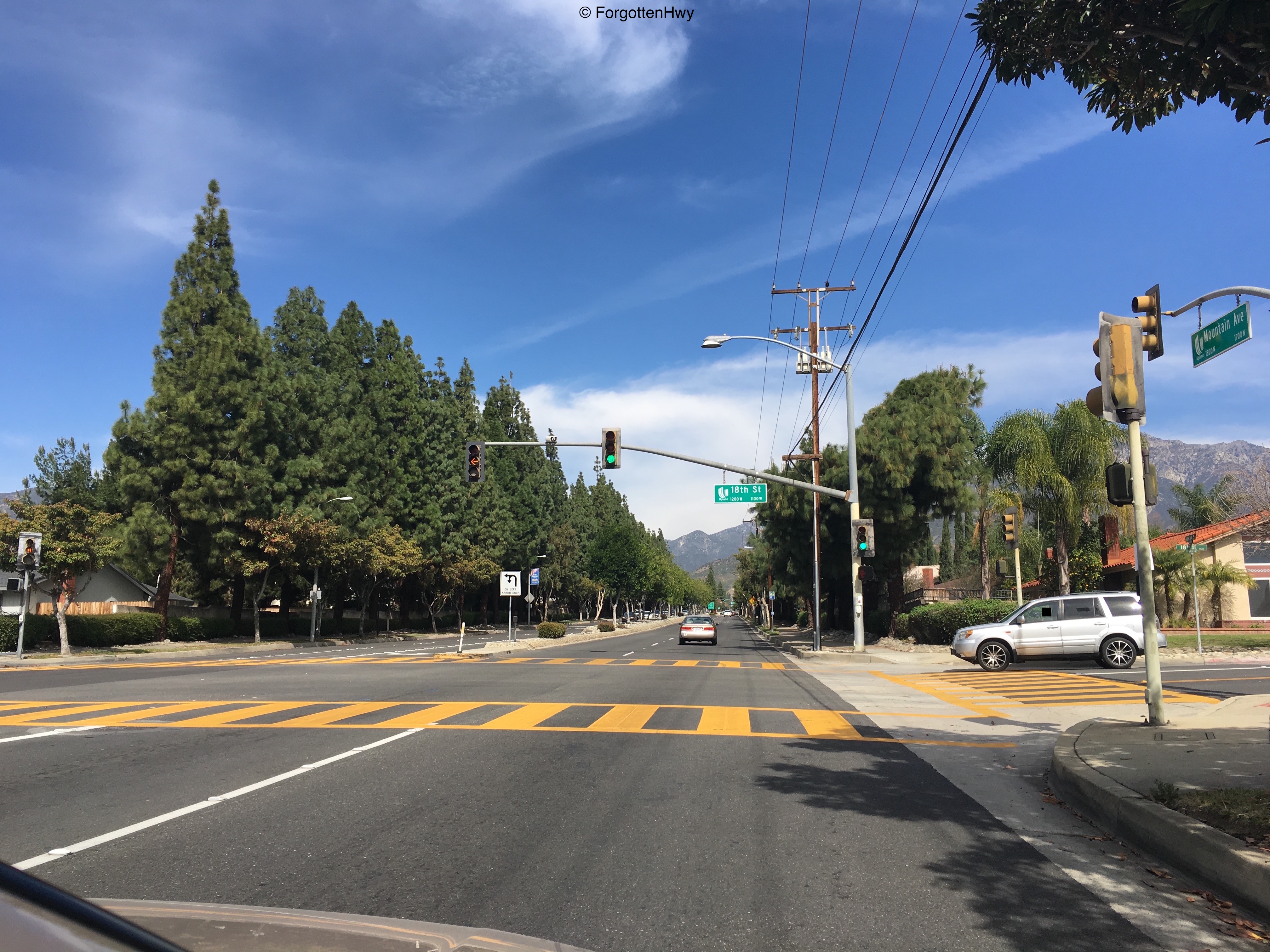
Junction: 18th St. SR 30 via Mountain Ave only has two controlled intersections before 19th St. Here's one of them. Note the upcoming signage for SR 210. Notice the almost expressway-like layout of Mountain Ave - not much different then Base Line Rd/16th St. Yeah, get ready for a 180° change on that.
|
|
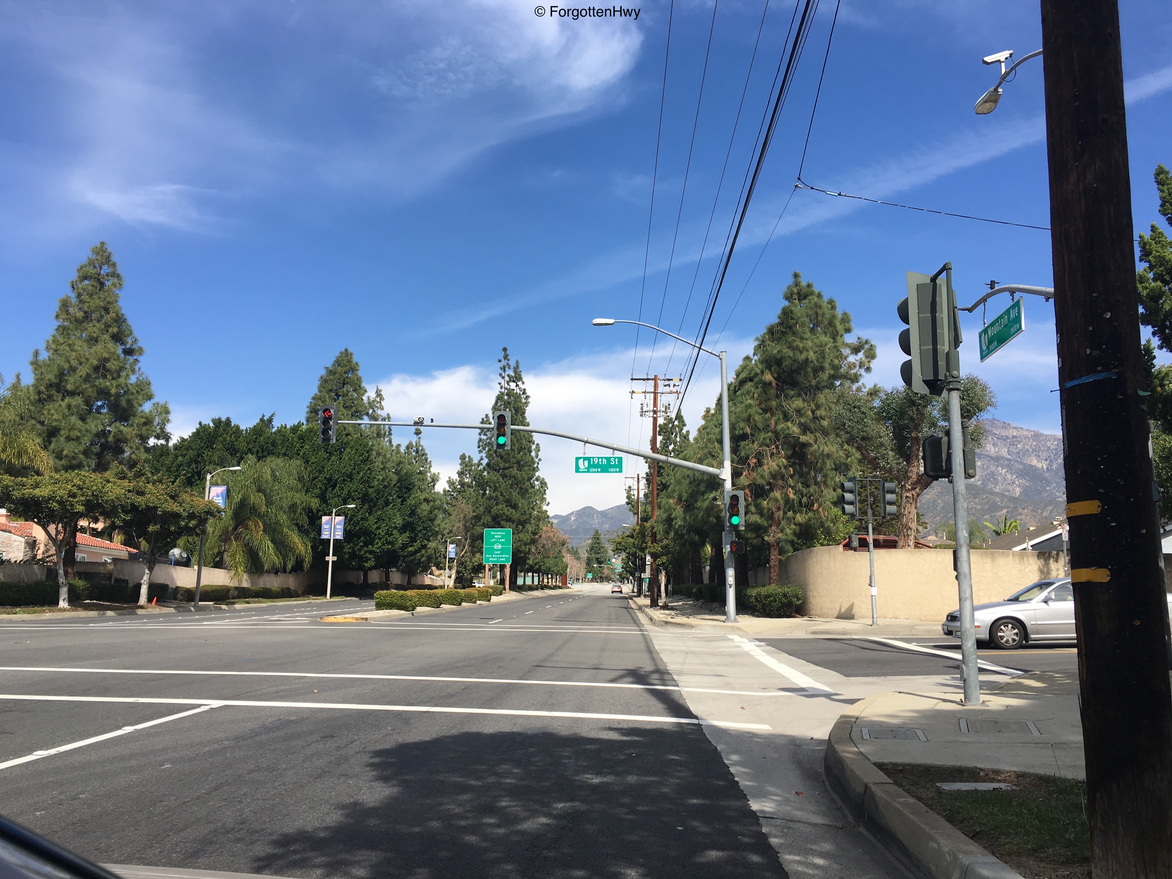
Junction: 19th St. Shields would have sent eastbound SR 30 traffic right, here. Mountain Ave's next intersection after this is SR 210. Notice how we have completely flip-flopped from where we were in Los Angeles County: instead of being just north of the freeway, we are now just south.
|
|
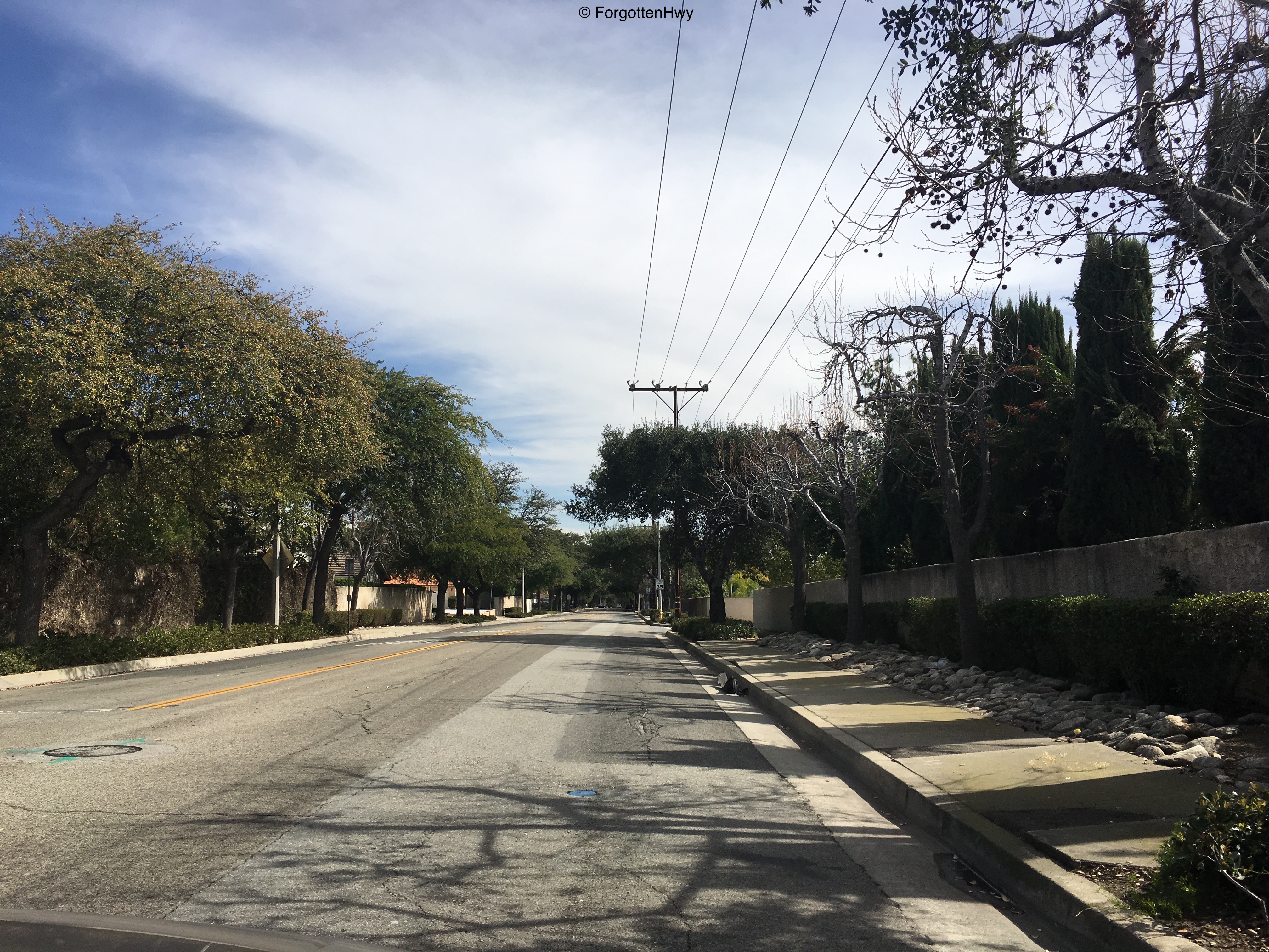
"Oh no! Did I make a wrong turn?!" Nope. This is SR 30 along 19th St in Upland. Very quaint and quiet. Even a 35MPH speed limit! What are we? A residential street?
|
|
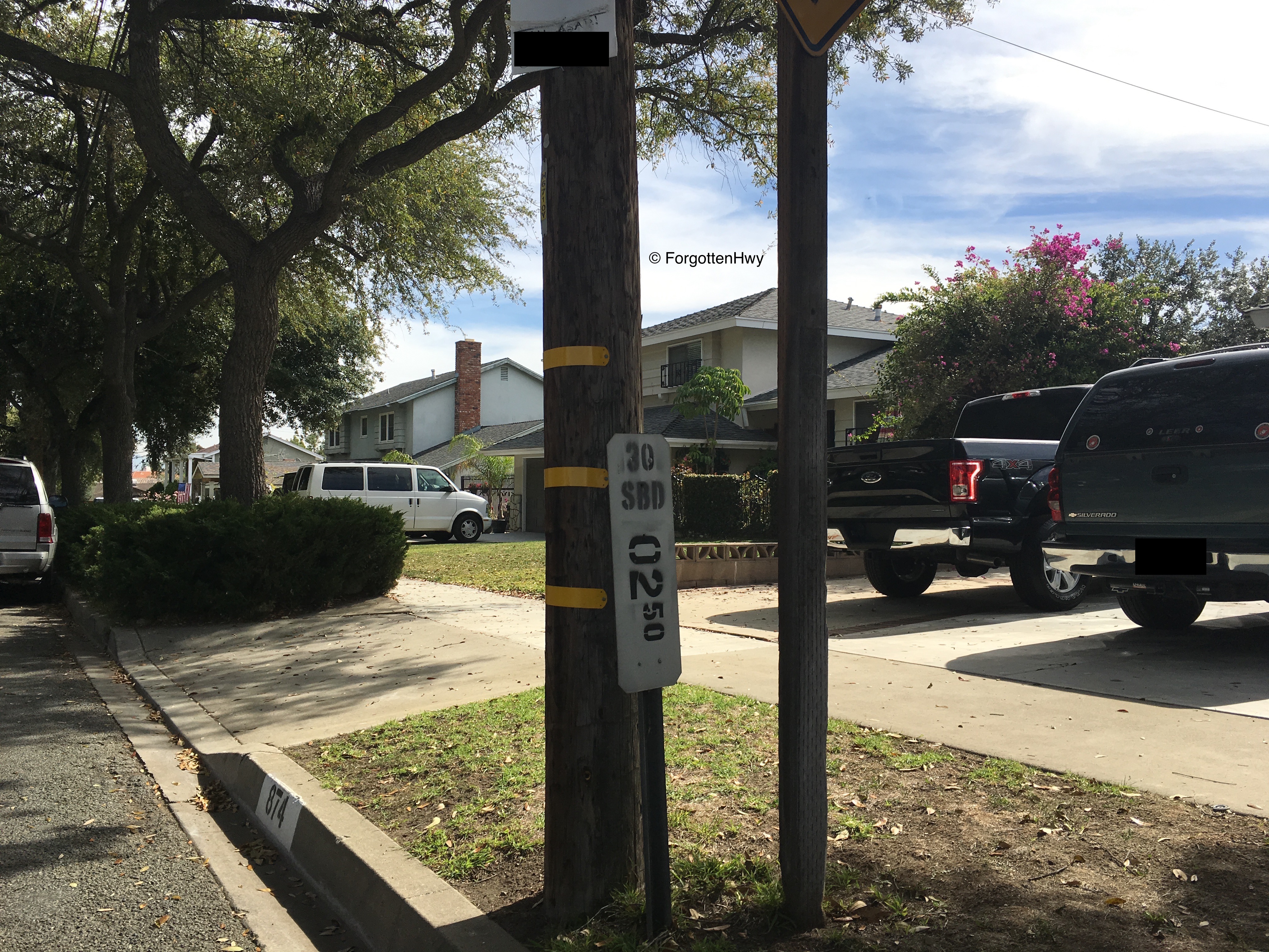
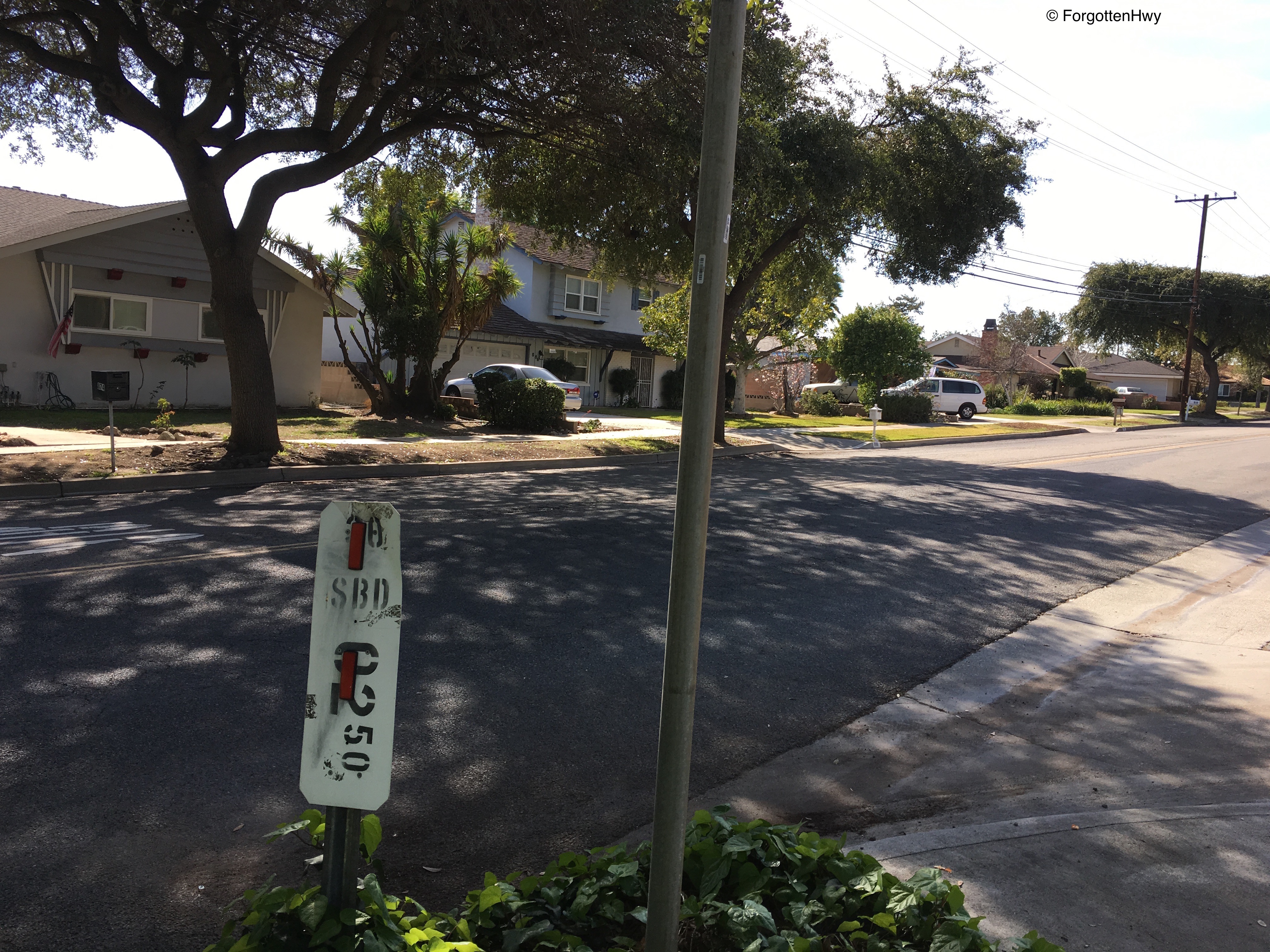
Actually yeah we are. But I have mile marker 2.5 to back me up and prove that, yes, we are on SR 30.
Eastbound's marker is pretty in tact while westbound's has been repurposed as a reflector strip. How sad. |
|

|
Junction: San Antonio Ave. Looking southwest.
|
|
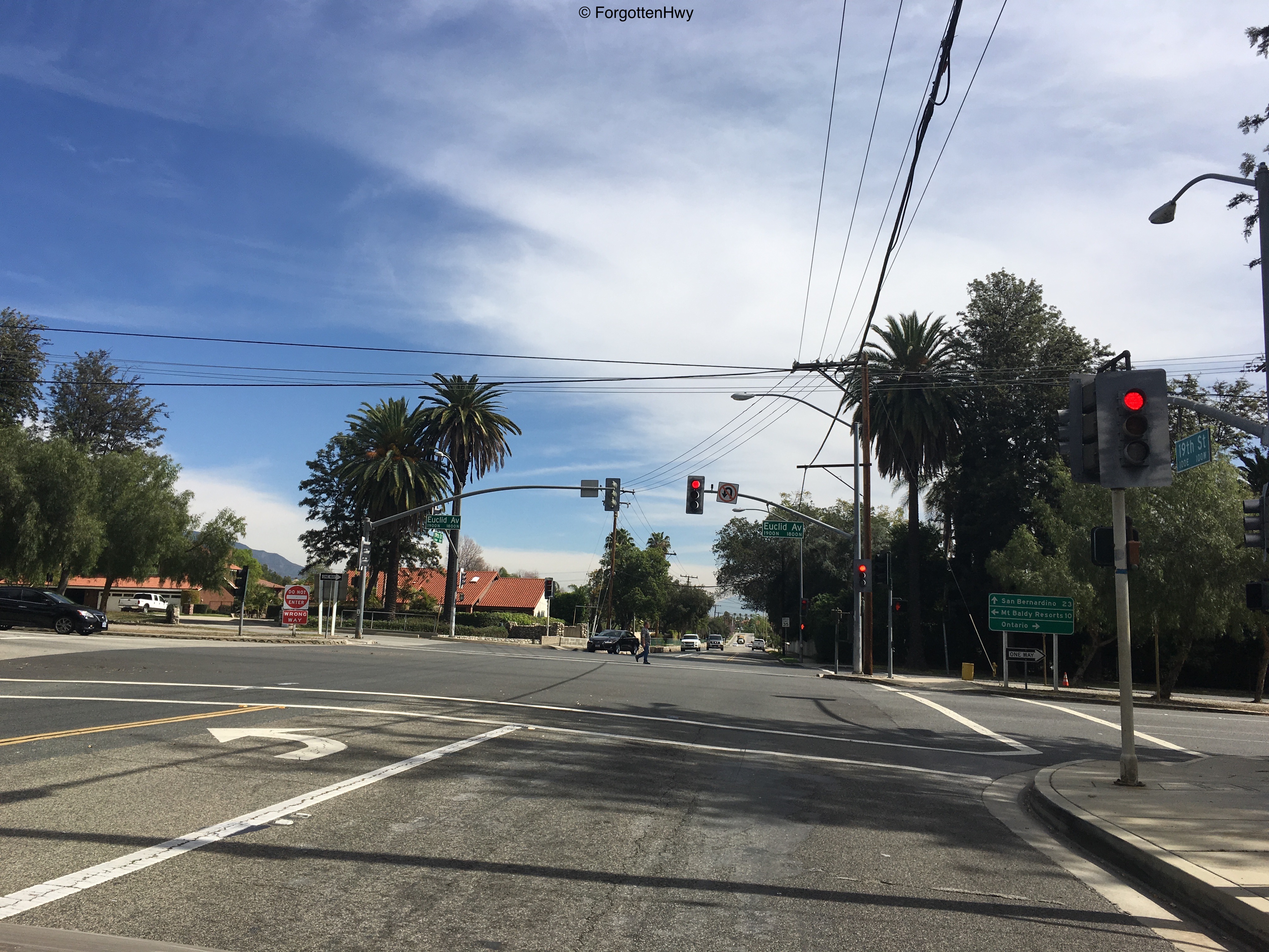
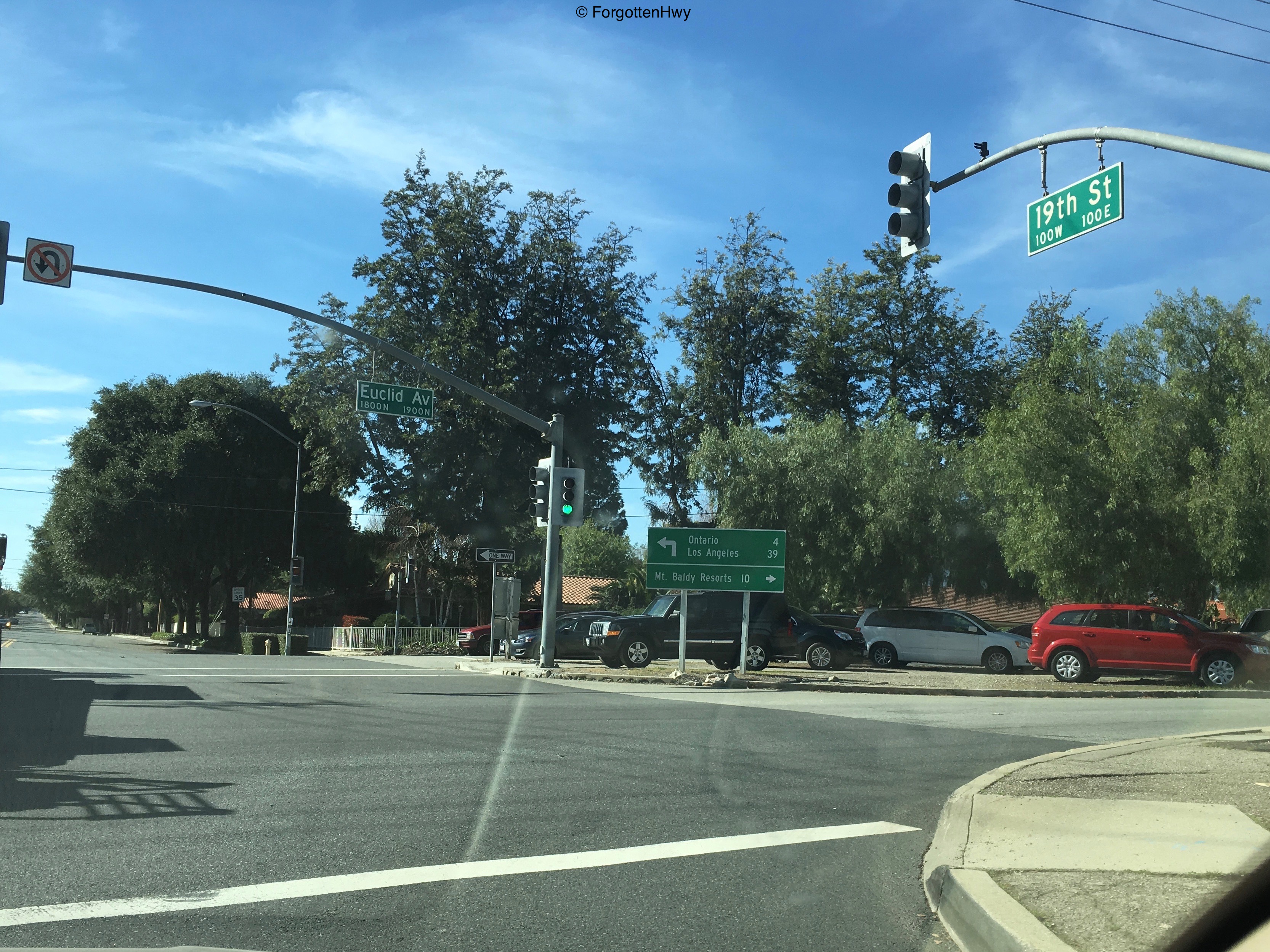
Junction: Euclid Ave/old SR 83. Funny story: community opposition not only led Caltrans/SANBAG to forgo a Euclid Ave exit on SR 210, but they also convinced them to put the freeway below-grade and build a bridge with a green belt to match the rest of the street. It came out rather beautiful, but we'll save that until we cover SR 83 in the future. Note: As of 2008, Euclid Ave north of I-10 was relinquished to the city of Upland, thus making this 'old SR 83'. On the right, approaching the intersection going westbound, this directional sign in the greenbelt recently replaced a beautiful porcelain-enamal sign for no reason. The previous sign dated from when CA-83 terminated here at SR 30.
|
|
|
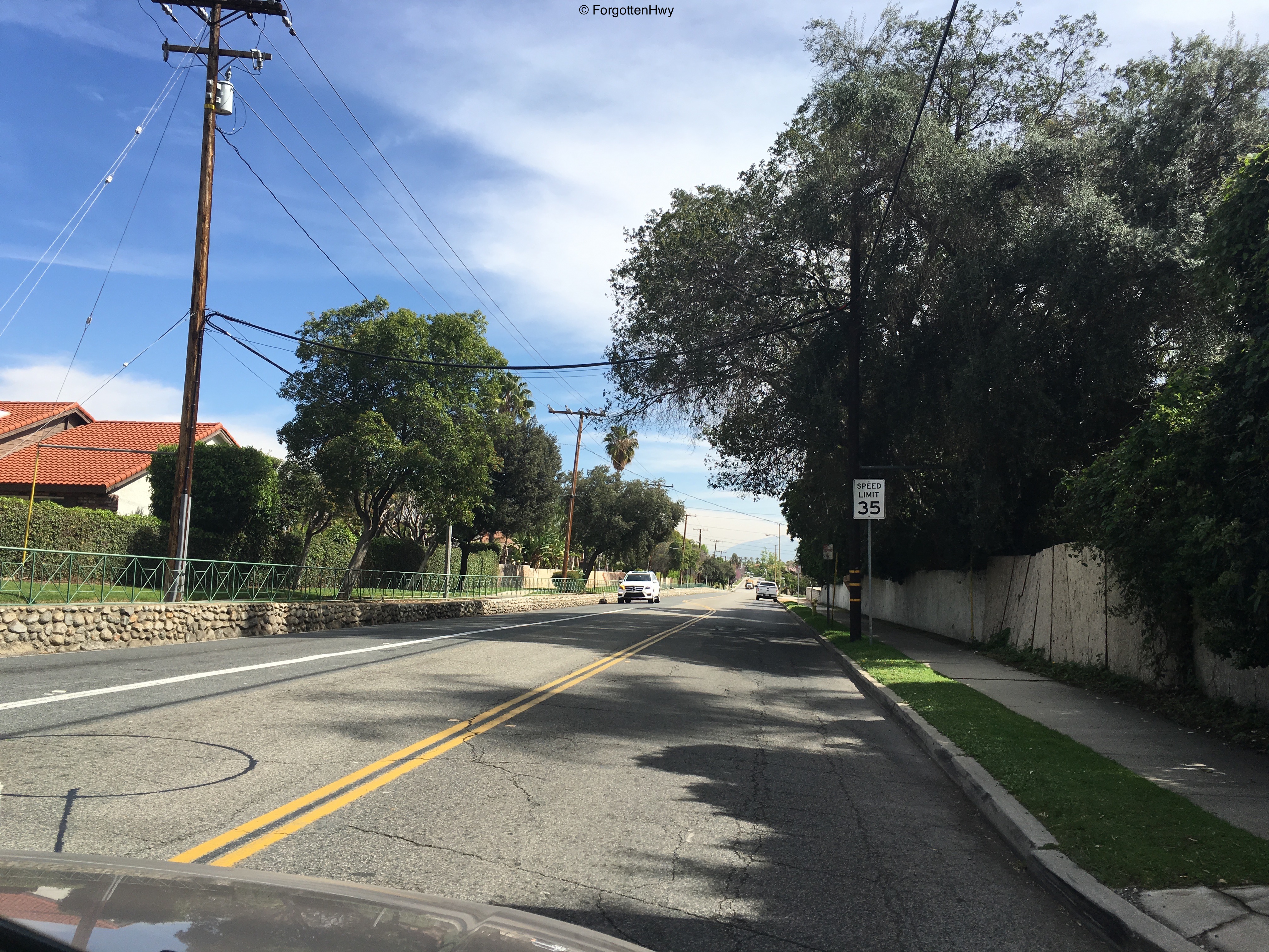
EB 19th St/old SR 30. Notice the old stone drainage canal off to our left. Probably dates back to Upland's early days.
|
|
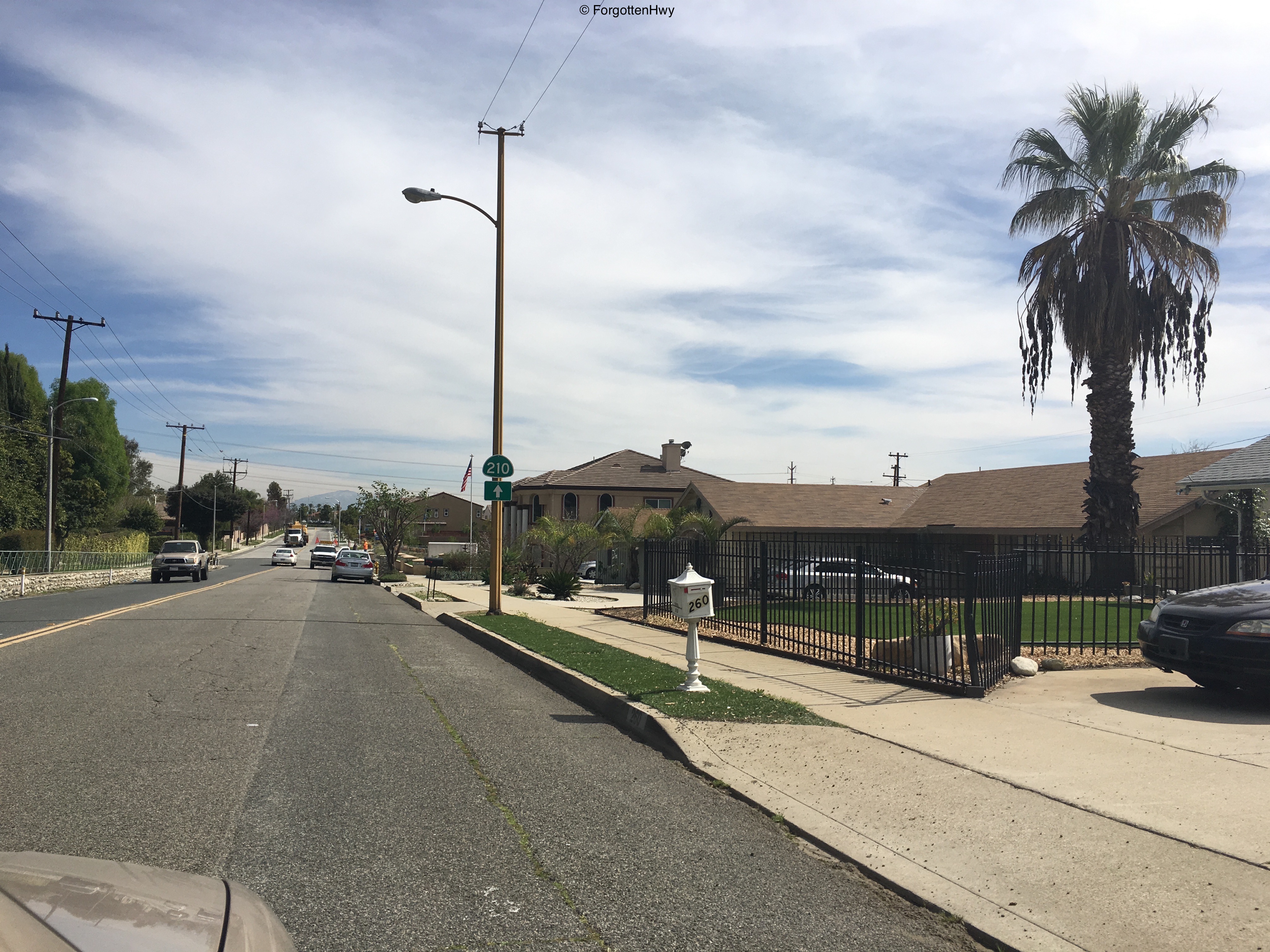
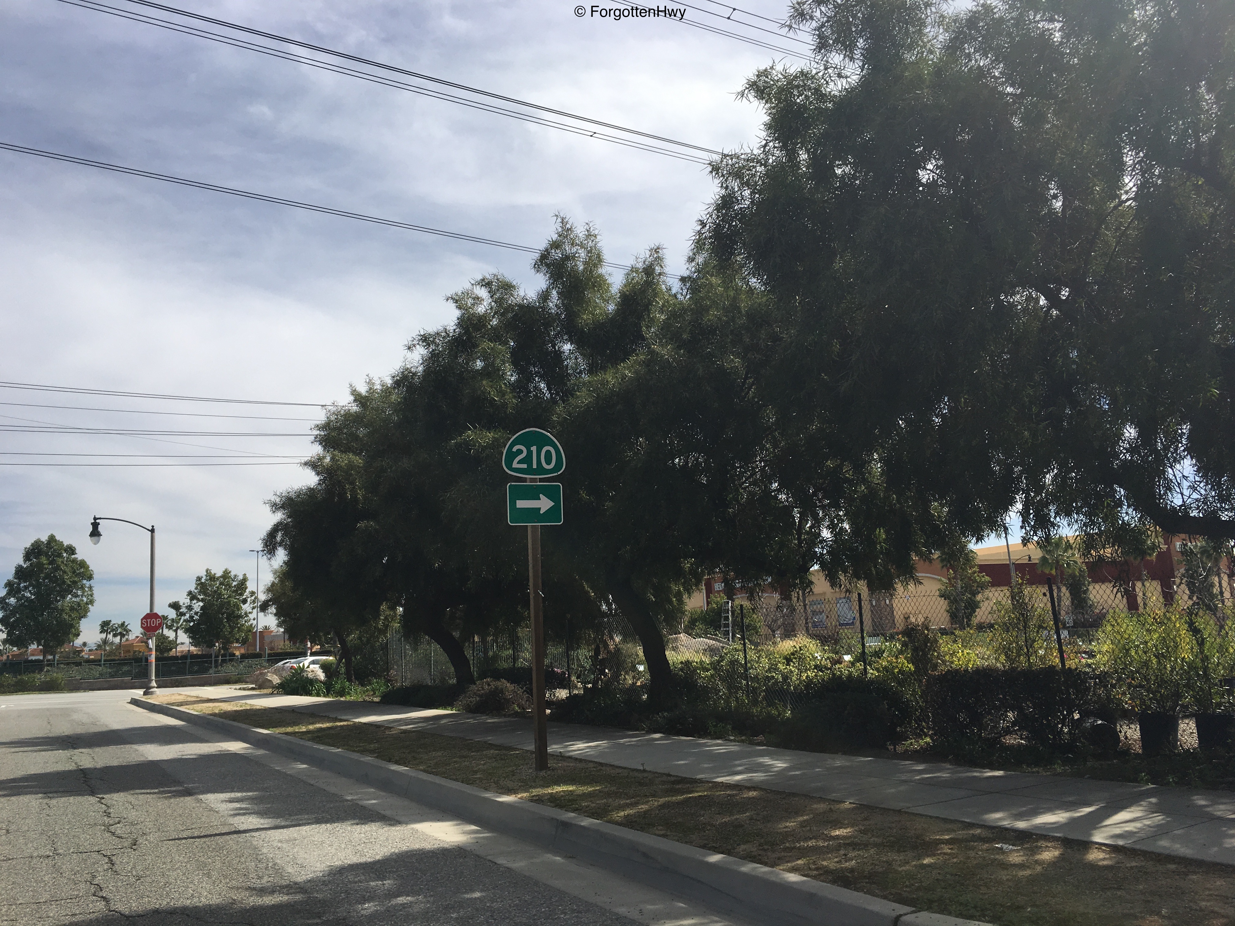
EB 19th St/old SR 30. Odd shaped 210 shield put up by the city of Upland after the reconfiguration of 19th St and Campus Ave. Notice the very old electric pole it's attached too. This is a very old area with some new development. Similar poles are on San Antonio Ave, dating to the 1950s possibly even earlier.
We won't be on the original road for much longer unfortunately. |
|
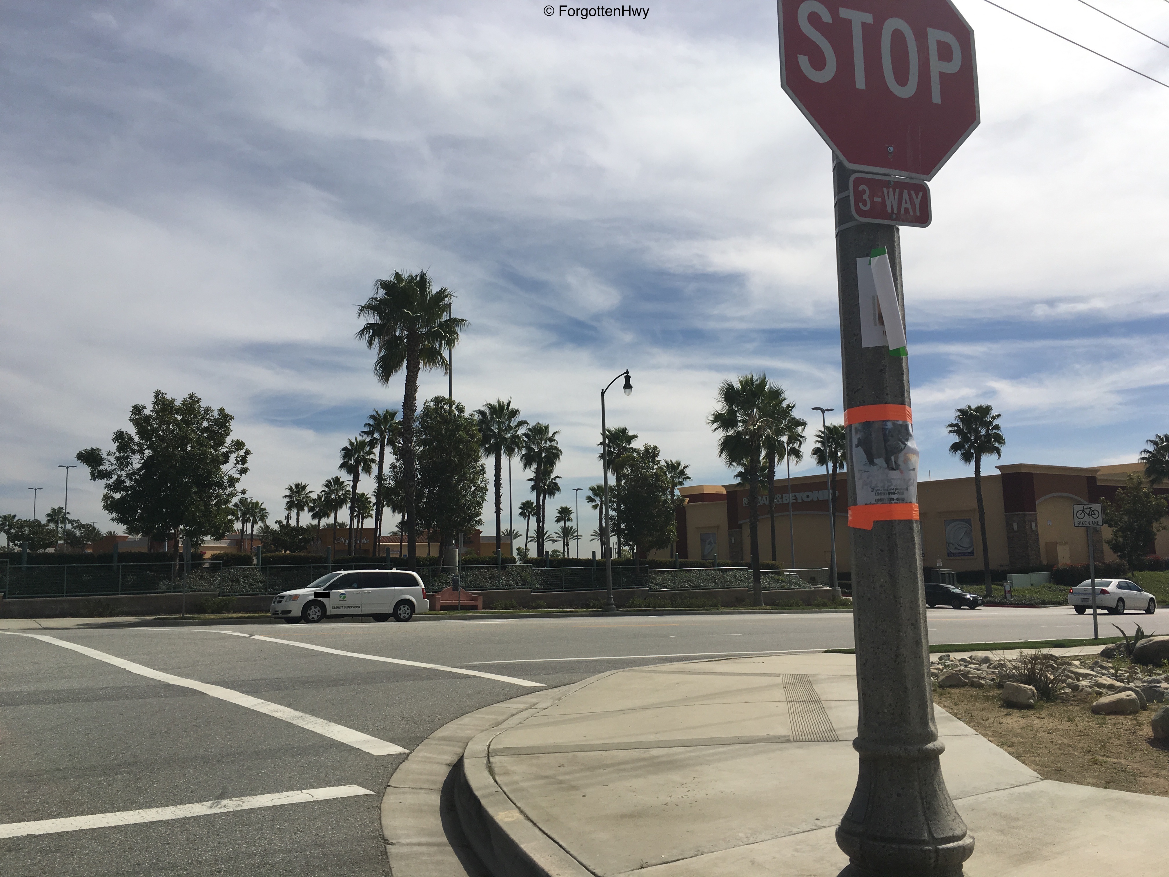
Our final SR 210 shield before turning off the original roadbed.
|
|
Junction: 19th St. We won't go very far on this stub because we will reach...
|
|
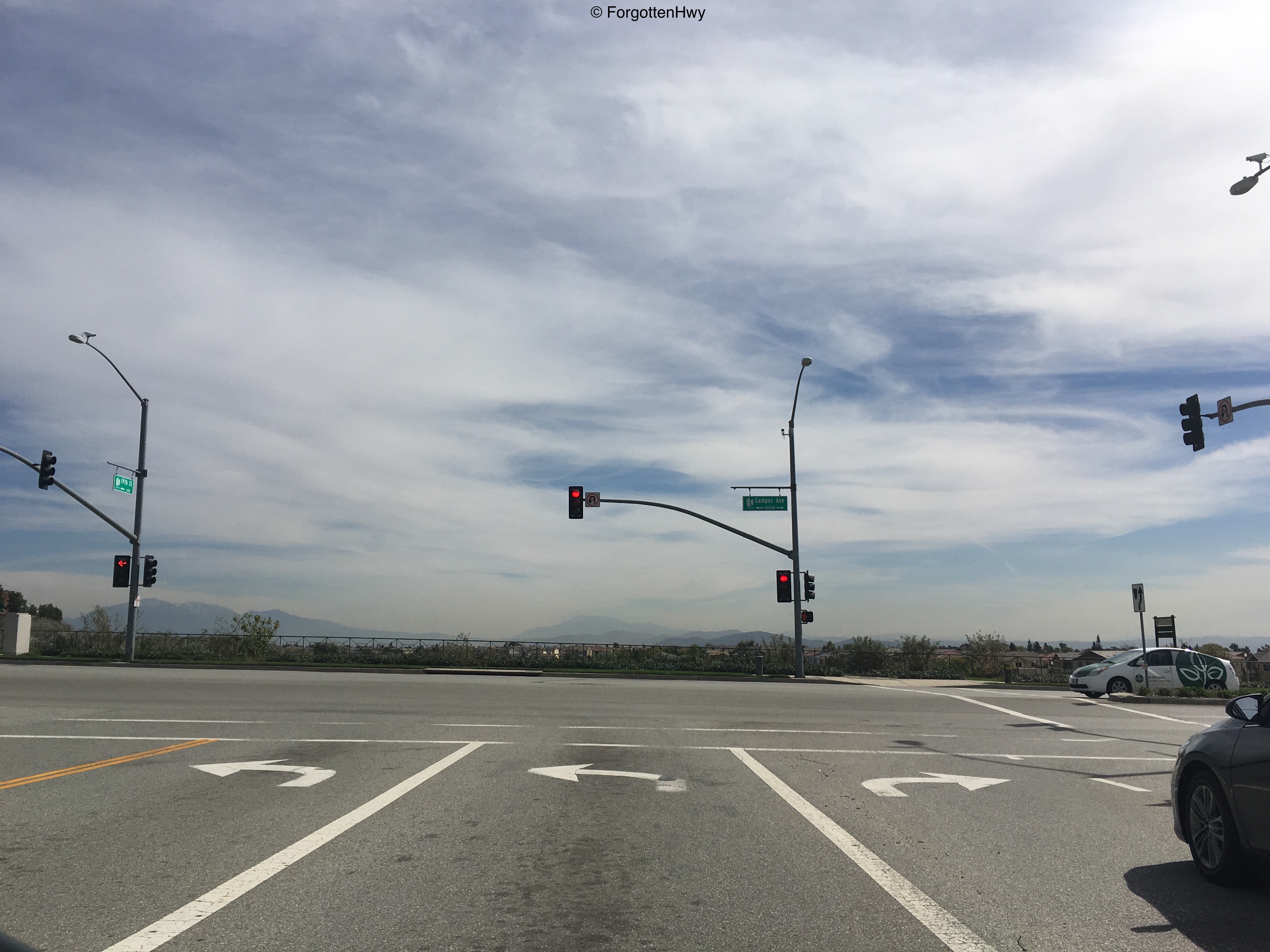
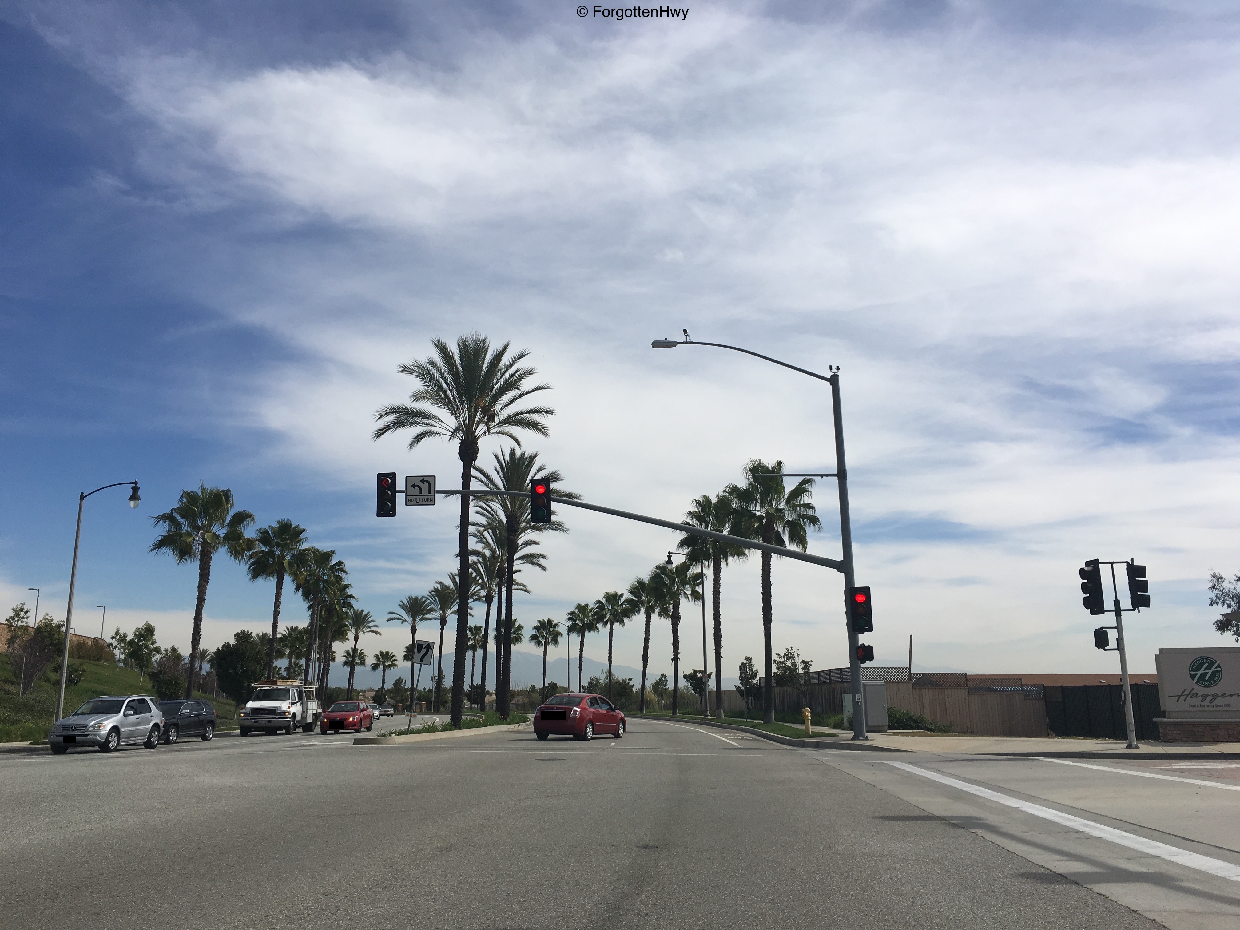
Junction: Campus Ave. Campus Ave was originally just a standard N/S street that we would have intersected with about 200 feet ago. Now the road curves going E/W through a recently developed shopping center. 19th St traffic merges on to it temporarily.
|
|
Junction: Crossroads Dr. NB Campus Ave. Note the final SR 210 shield along this route. 19th St is the second signal in the background.
|
|
Junction: ? This road isn't marked but it enters into the shopping center so for arguments sake, we'll call it Crossroads Rd. Technically, we are on 19th St, but this alignment is not related to SR 30... yet.
|
|
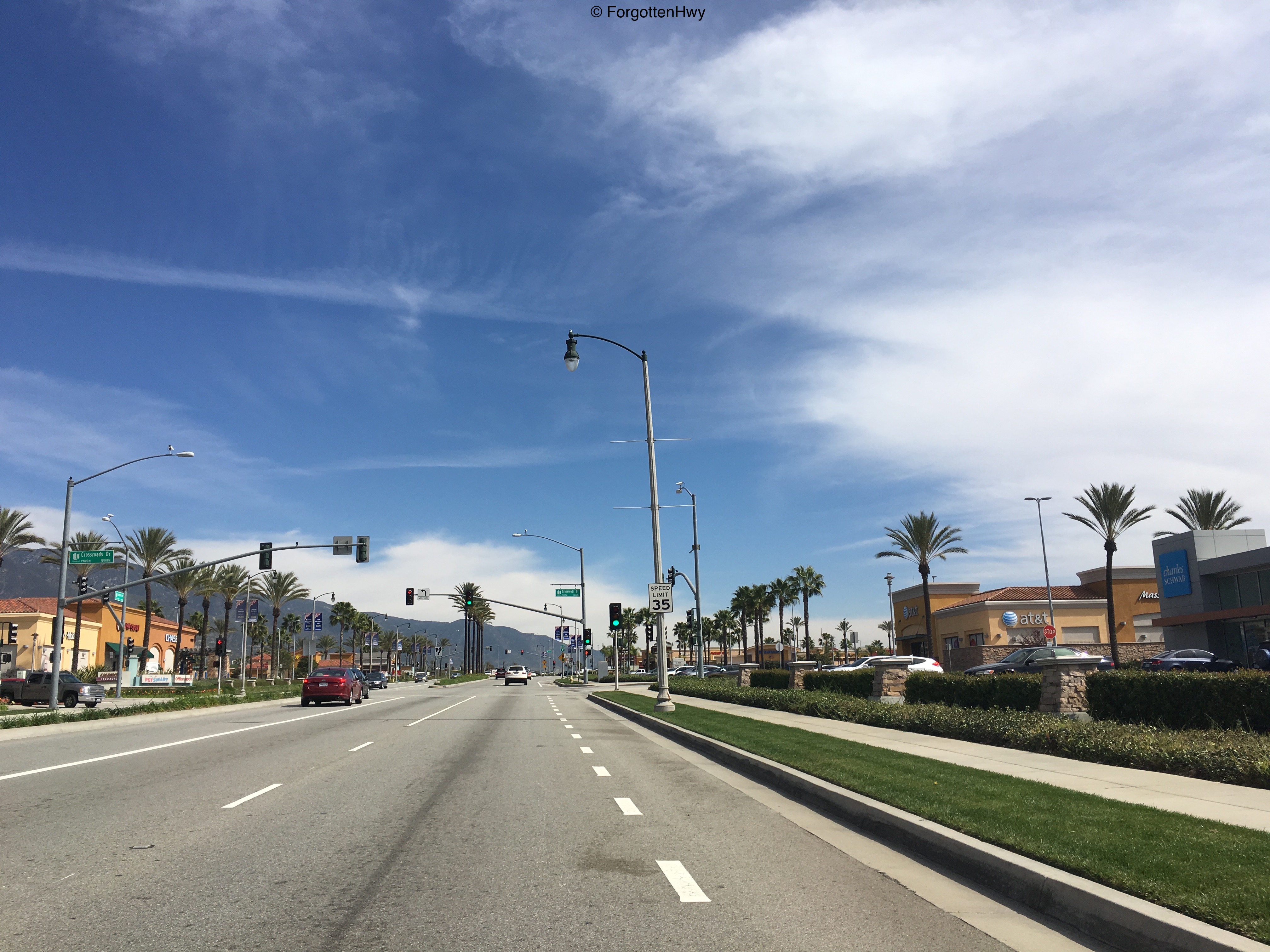
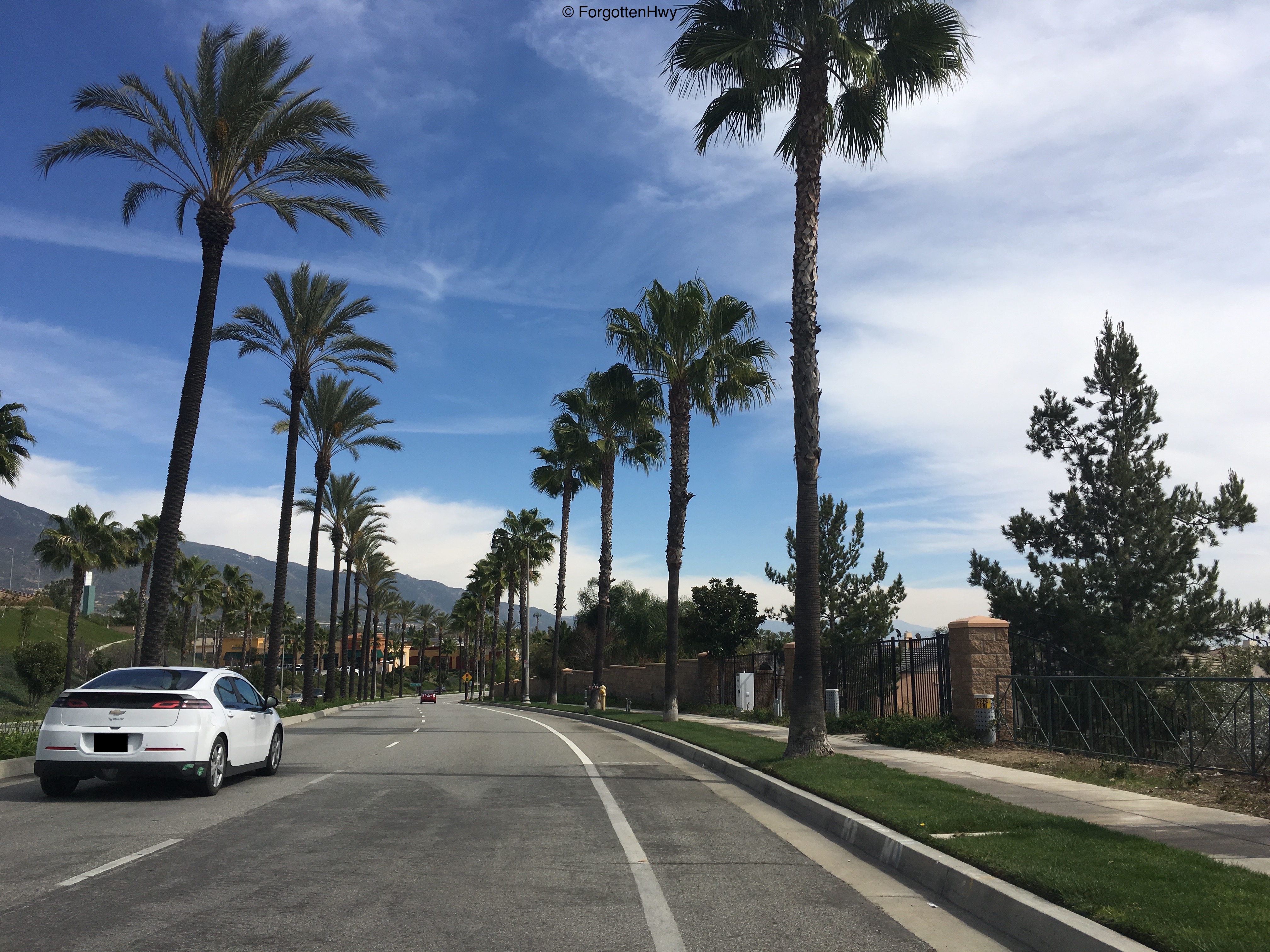
EB 19th St. Still no relationship to SR 30, but the palm tree lined street makes me feel like we're in Beverly Hills or something. I don't know, it's just super Southern California.
|
|
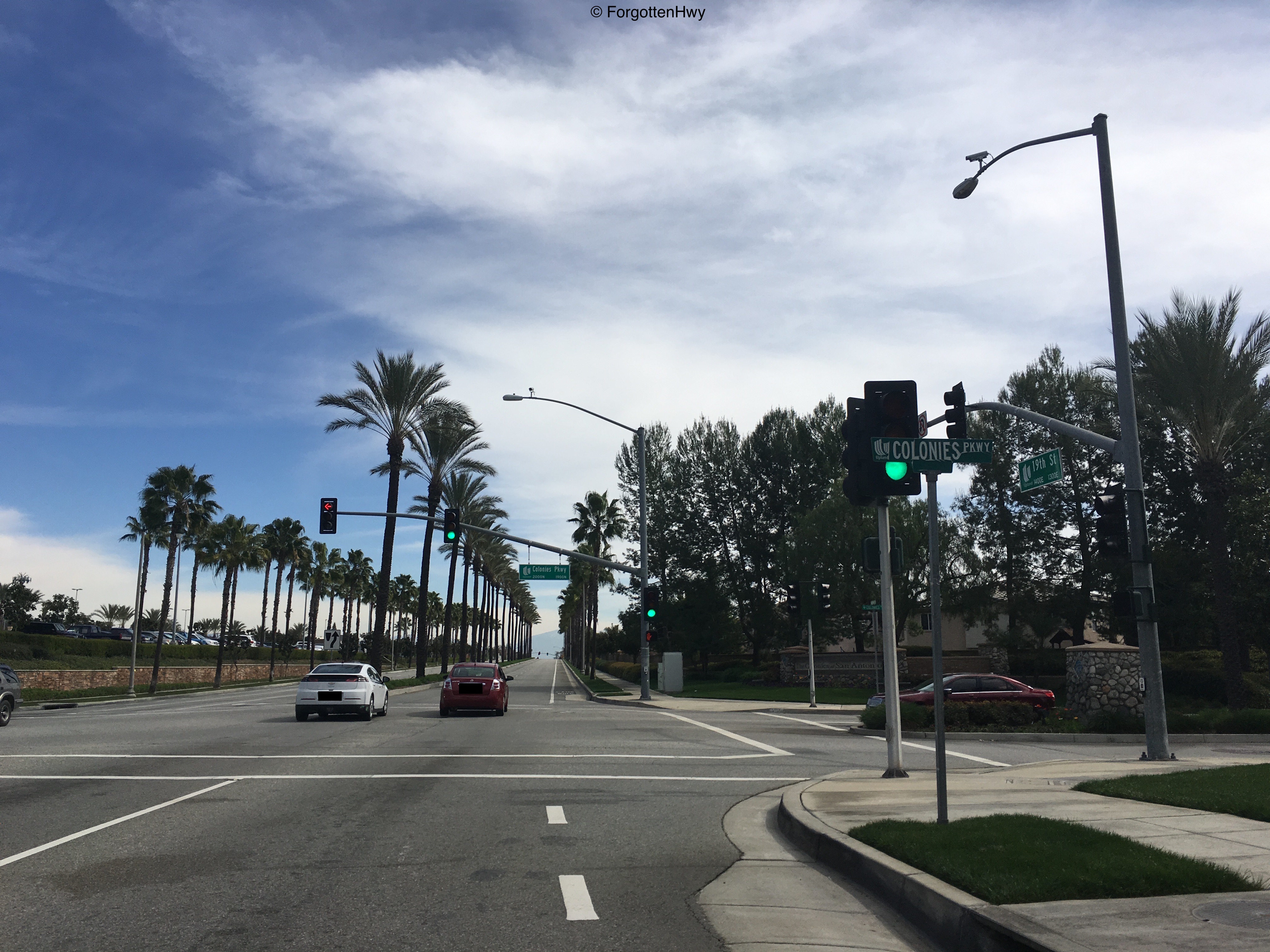
Junction: Colonies Pkwy. We are back on SR 30 alignment, however I believe we are below the original grade of the road. This will even out shortly.
|

|
Junction: Sapphire St (north)/Baywood Way (south). This officially marks the city limit of Rancho Cucamonga - the last city on this continuous route before it comes to an end. We are also back at-grade with the original alignment.
|
