
Former California State Route 31, Part One
Main St and Hamner Ave in Corona and Norco, to Eastvale.
Skip to:
Part 2
Part 2
This photo essay is a two part series, taking you all the way along SR 31. We start at the southern end in Corona and make our way to Ontario. Sadly, when photographed, Milliken Ave/Hamner Ave was closed north of SR 60 because of construction of a grade-separated crossing with the railroad tracks.
Click on any image to enlarge it.
Click on any image to enlarge it.

|
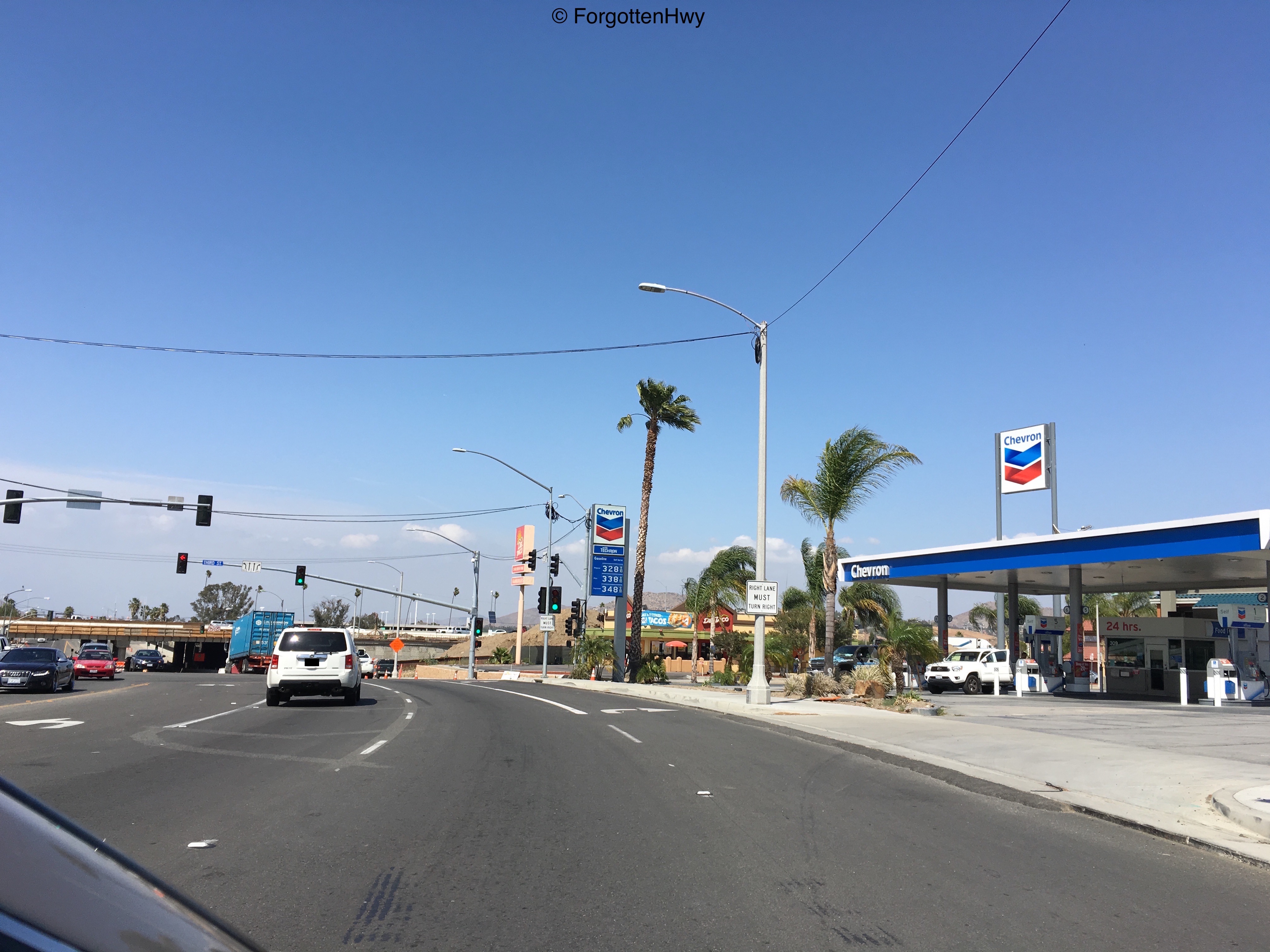
We start northbound on Main St at 6th St in Corona. 6th St was originally US 91 until it was moved to it's freeway alignment at the very northern tip of Corona in the 1940's/1950's (which is now SR 91). SR 31 never came this far, however LRN 193 did. We are actually 300 feet west of the old intersection. It was paved over for a shopping center and is now it's back alley (go figure). The alignment corrects itself before we cross the 91.
|
|
Reaching the end of the 300-foot bypass.
|
|
We correct here at this intersection with Third St, just before SR 91.
|
|
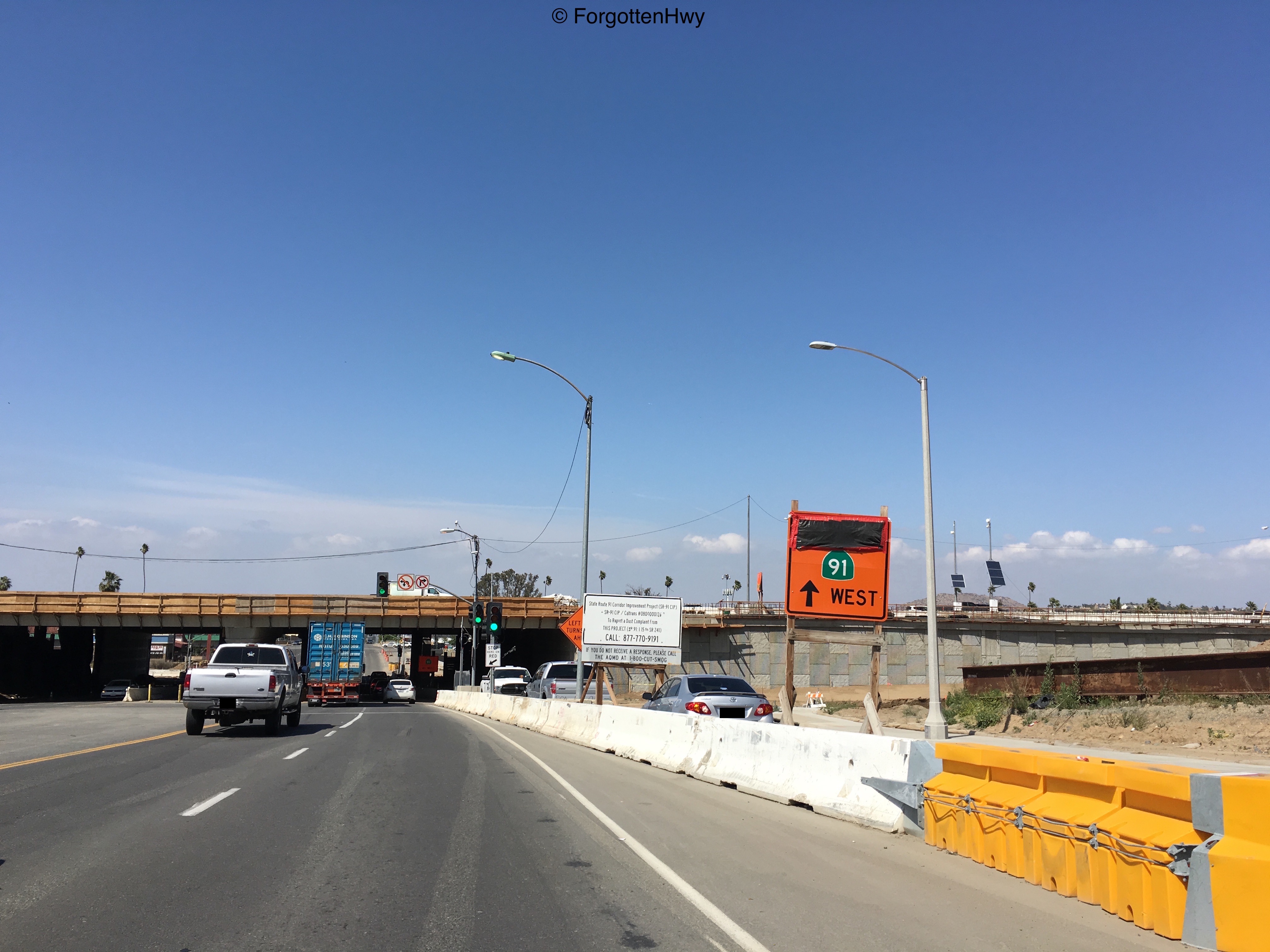
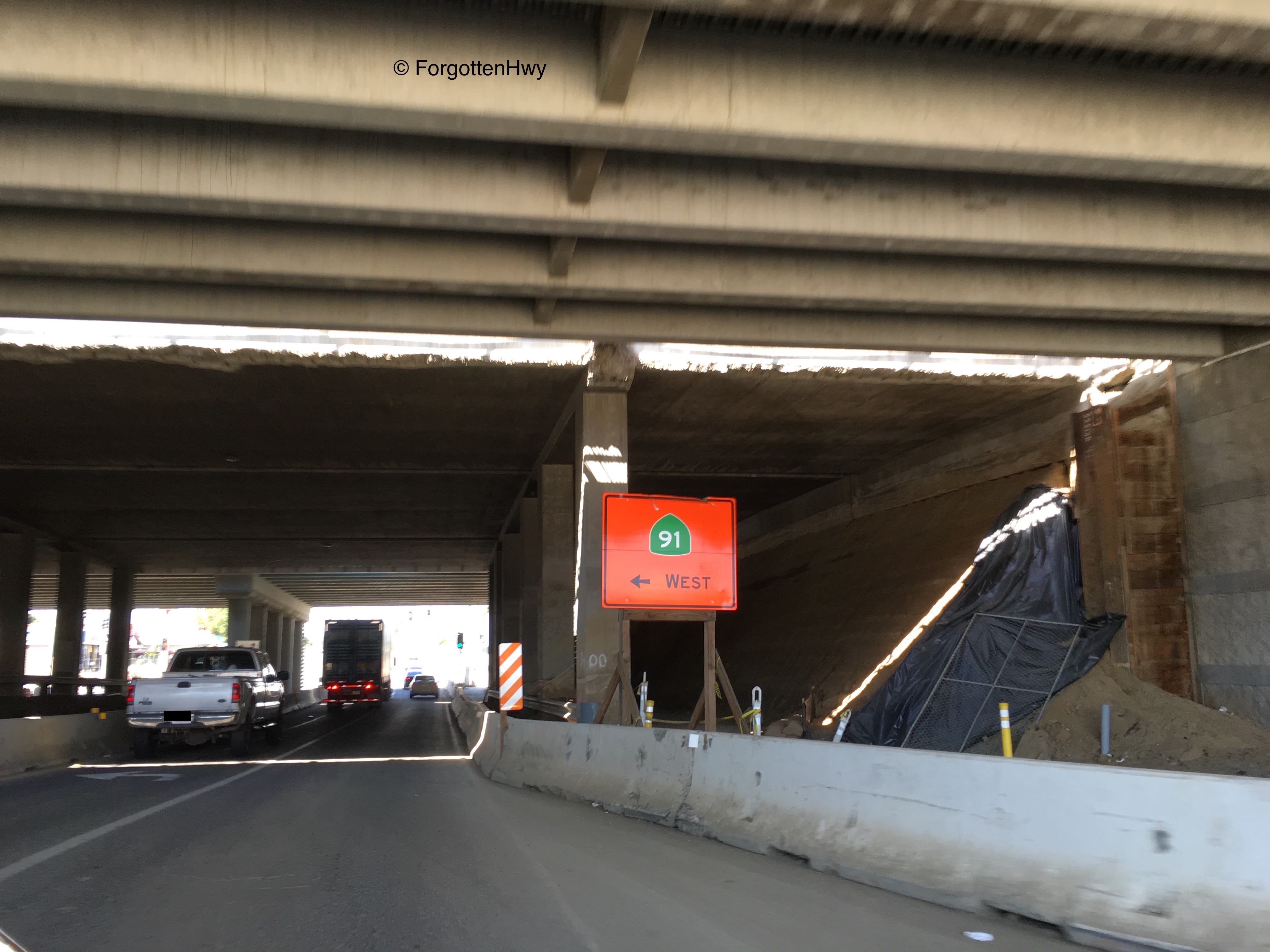
BEGIN Former SR 31. As long as I can remember, the 91 has never *not* been under some sort of construction.
|
|
Crossing under SR 91. I absolutely loath these orange signs CalTrans uses to direct traffic during roadwork. LOATH.
|
|
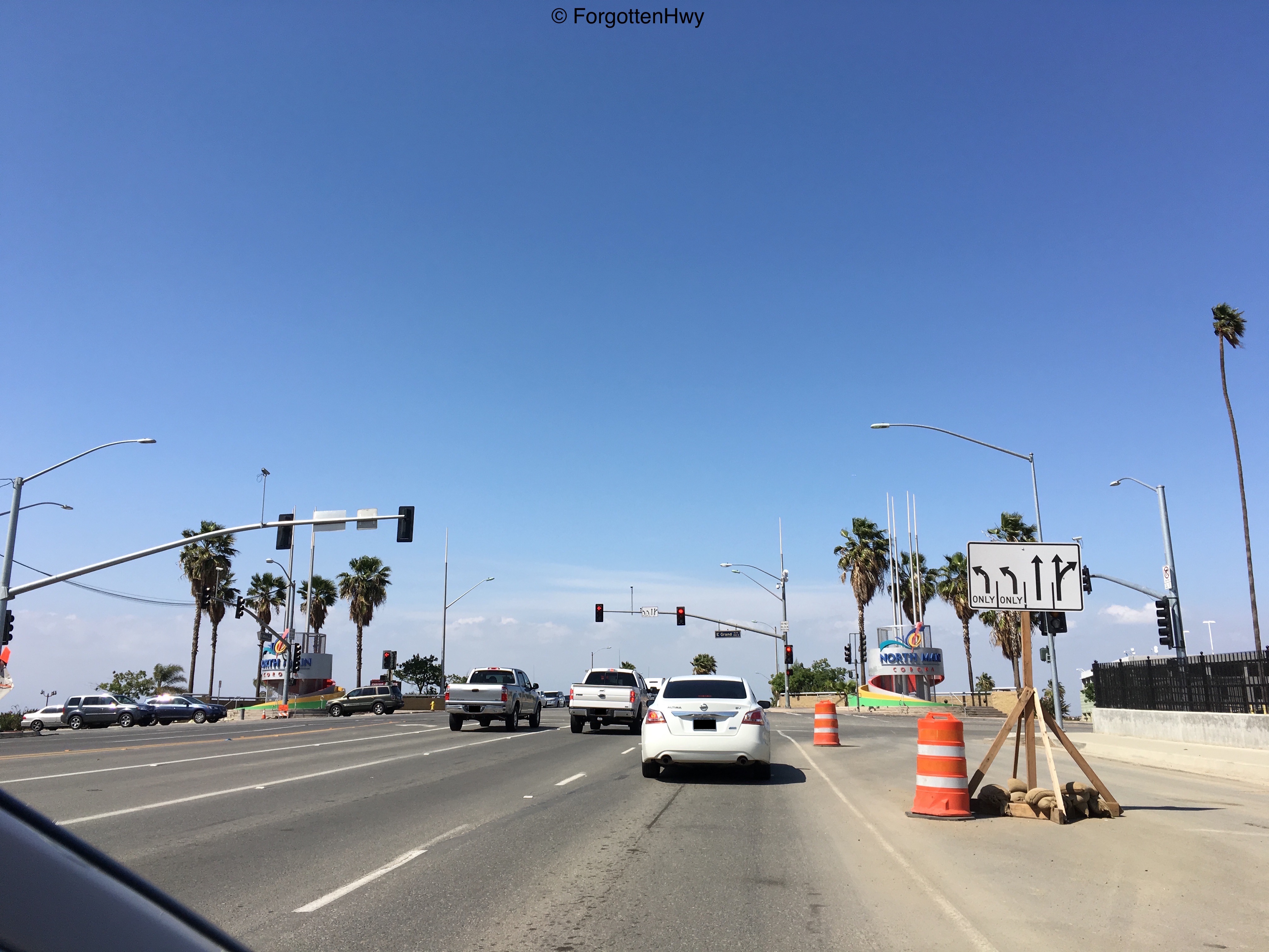
Junction: Grand Ave. Corona is 'The Circle City' because of the loop Grand Ave made around downtown Corona. The old Main St and 6th St intersection actually marked dead center of the circle. Since Main was moved west slightly from it's old route, this is no longer the case. If you're OCD do NOT look at the map of the modern intersection inside the circle. It will drive you nuts. Main St divides the circle into it's eastern (E. Grand) and western (W. Grand) portion.
|

|
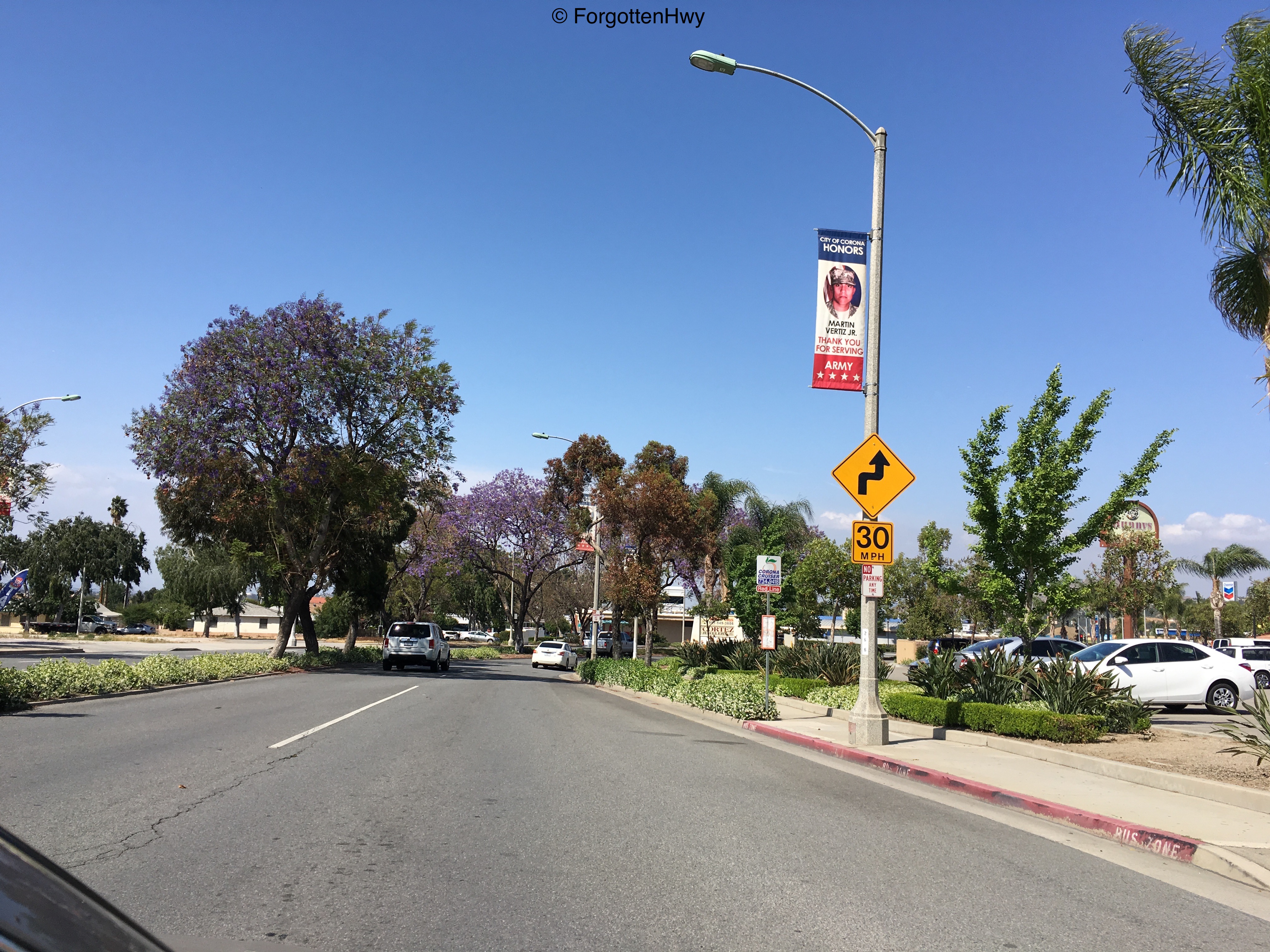
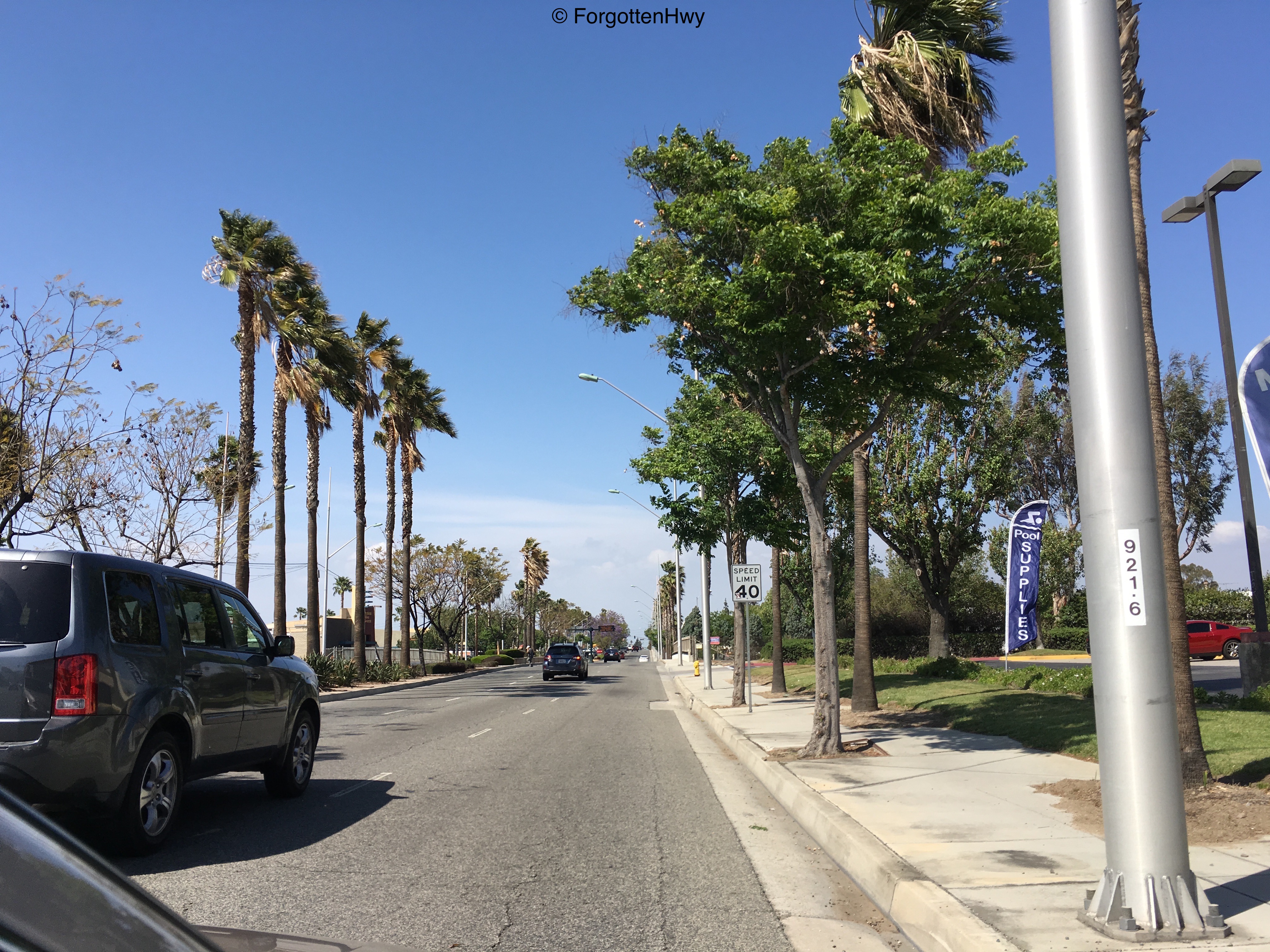
Leaving the cone zone. NB Main St/old TEMP I-15/old SR 31.
|
|
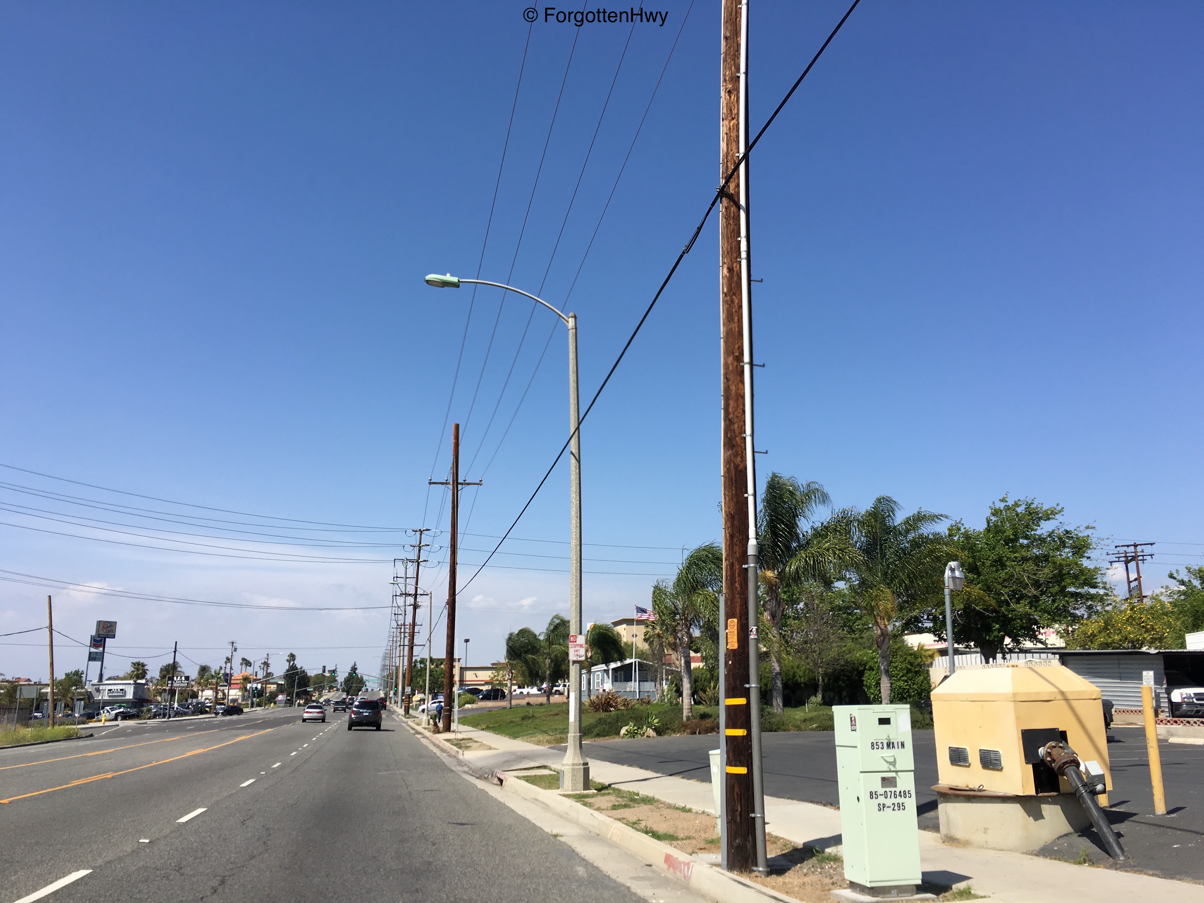
For future reference, these are not old mile markers. This are a numbering scheme the city of Corona uses for it's light poles.
|
|
Our last sign of Main St is this switching box. Here, we become Hamner Ave as we cross into Norco. Note the lack of a city limits sign. Corona does have one on the southbound side. Most of Hamner through Norco is signed on I-15 as Business 15.
|

|
Our first true intersection in Norco is with Mountain Ave (west)/Hidden Valley Pkwy (east). (No relation to the salad dressing). This is also our first street with a connection to the modern freeway to our east.
Norco, also known as HorseTown, USA has a very proud and still-existent equestrian and farming past. In recent years, the farming has given away to modern shopping and housing, but the equestrian part is still very alive and well. |
|
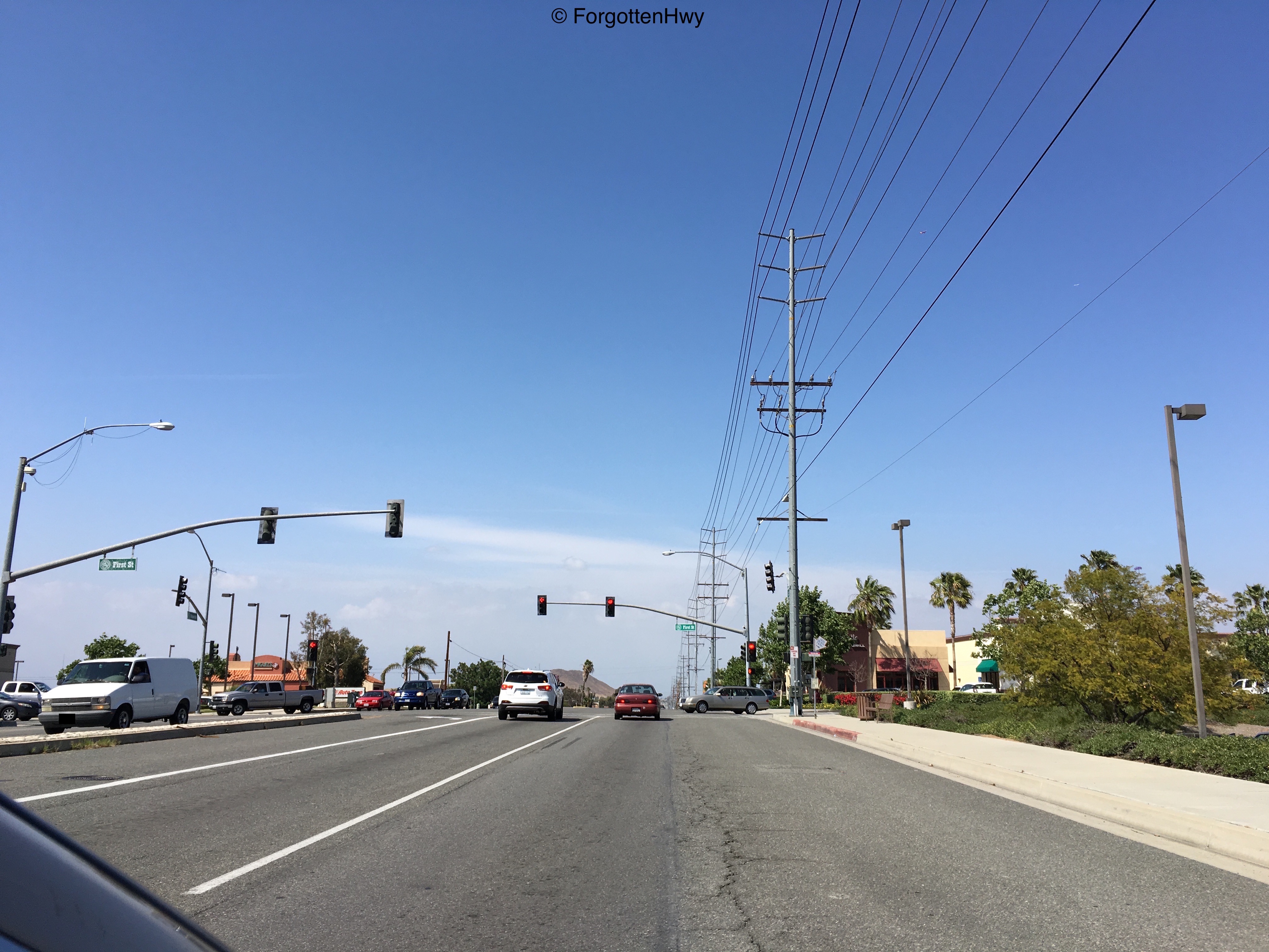
Our second controlled intersection is, ironically, with First St.
|
|
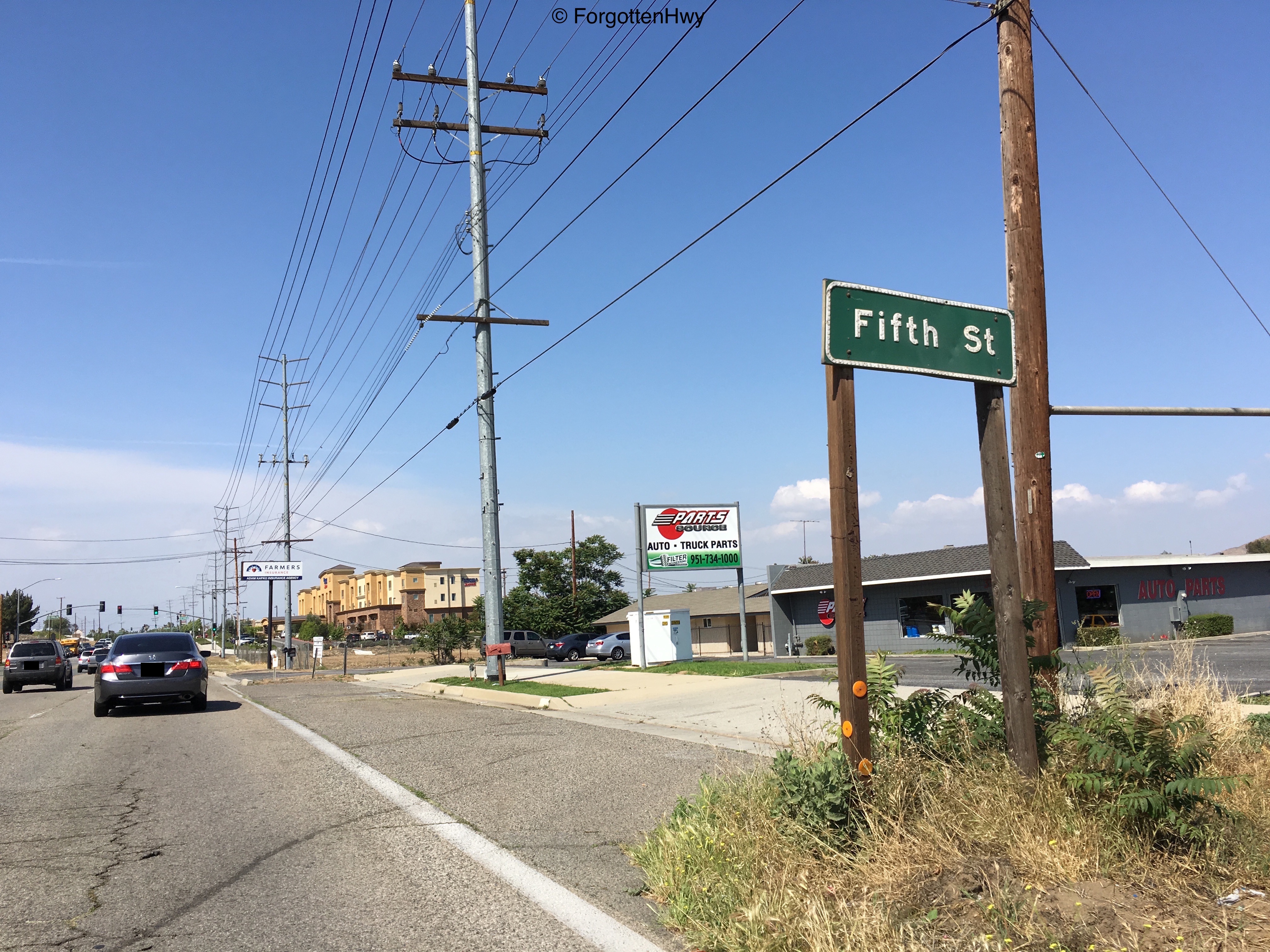
This old button copy sign survives from when this road was still a State Route. It's age is obvious, and judging by how light the traffic is on Fifth St, I doubt this was put up by the city of Norco. This 40+ year old relic still looks amazing while 5 year old retroreflective signs I've seen are peeling. They don't make them like they used to...
|
|
Junction: Fifth St.
|

|
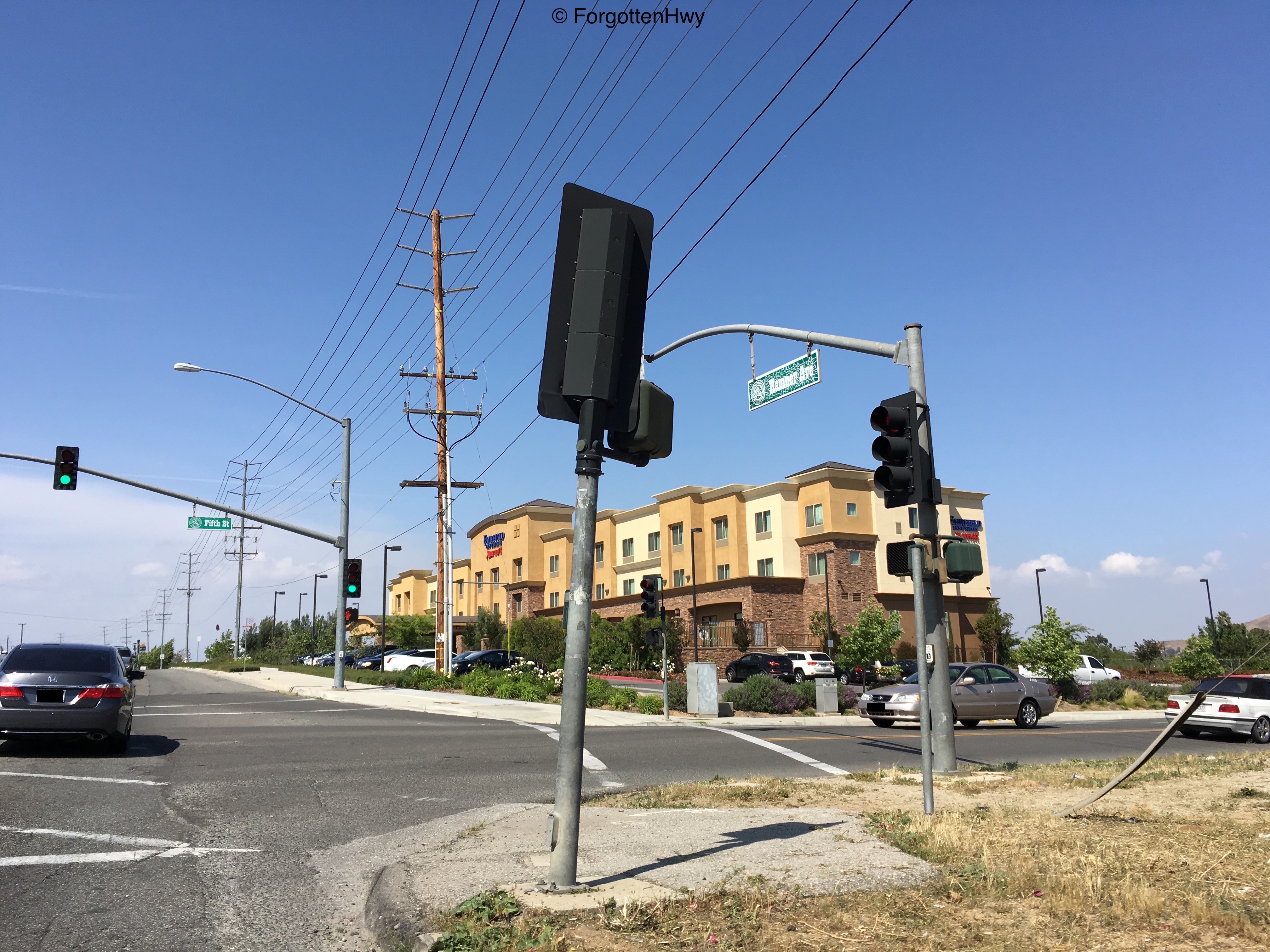
Junction: Norco Dr (west)/Sixth St (east). It is exit 100 on I-15, but just past here a small road deviates called 'Old Hamner Rd'. It's a very old looking residential street that hugs the freeway closer and ends before the Santa Ana River crossing. This road had nothing to do with SR 31, and I believe the same is true for LRN 193.
|

|
The only sign I could find of Old Hamner Rd is on the library's sign. It's unclear if it's Old Hamner Ave or Rd. My map says Rd, so we'll go with Rd.
Also note the horse crossing. These are all over Norco believe it or not. |
|
We narrow down to a two lane road before crossing the Santa Ana.
|
|
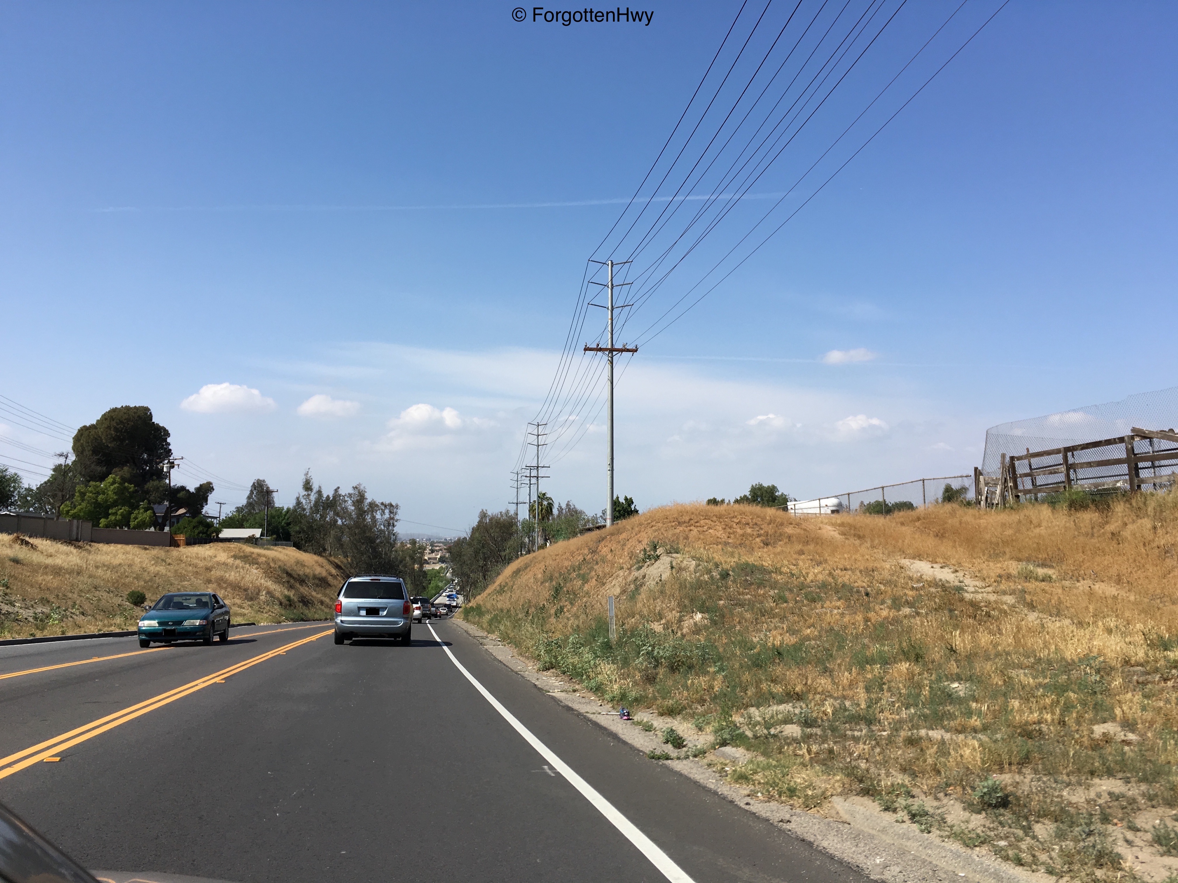
We go below grade to prepare to cross the Santa Ana.
|
|
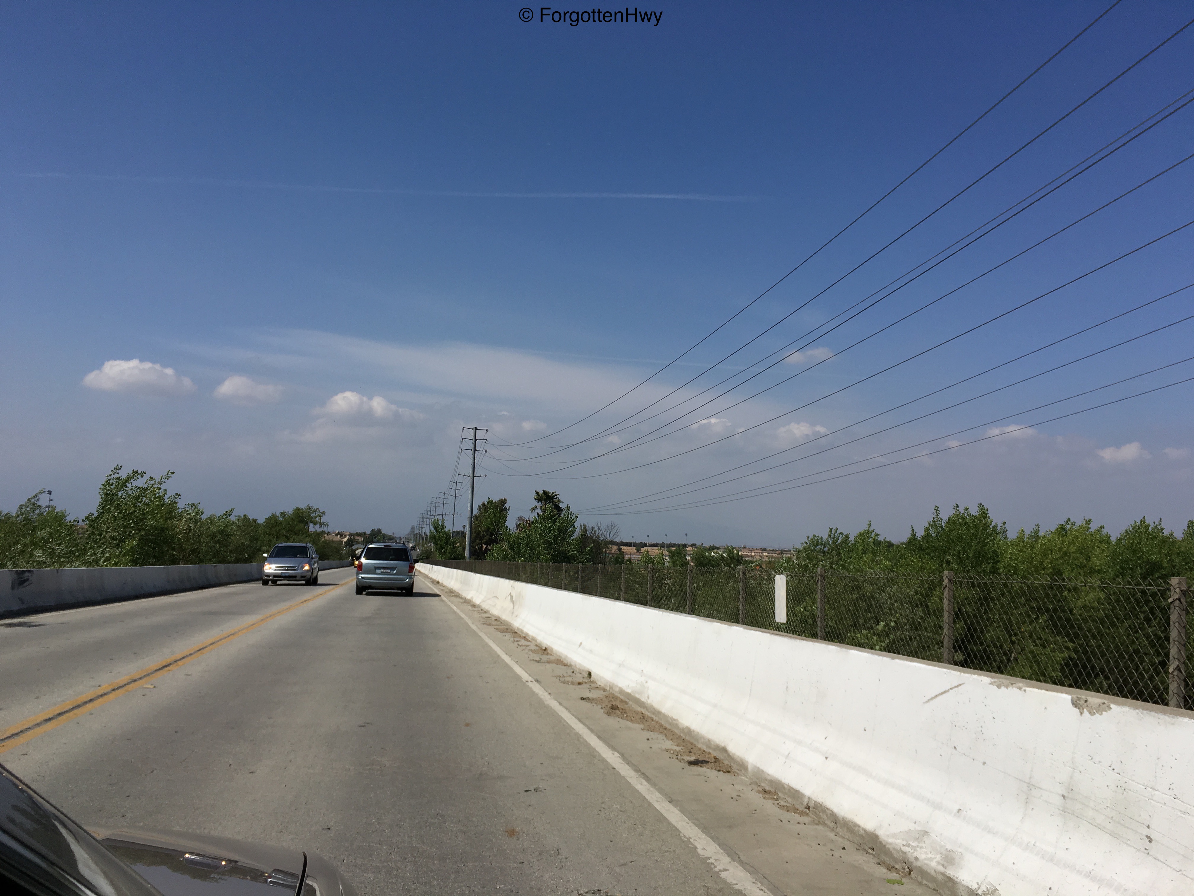
Crossing the river. It was actually pretty full when I passed through, a nice sight during a drought. This bridge is actually pretty long and dates back to the 1940's at the earliest, it might even be older. It was most likely constructed by the state and was relinquished to the city of Norco. The two lane crossing is the cause of major bottlenecking during rush hour as Hamner is a common detour for I-15 traffic.
|

|
After the river, we upgrade back to four lanes as we leave Norco proper.
|
|
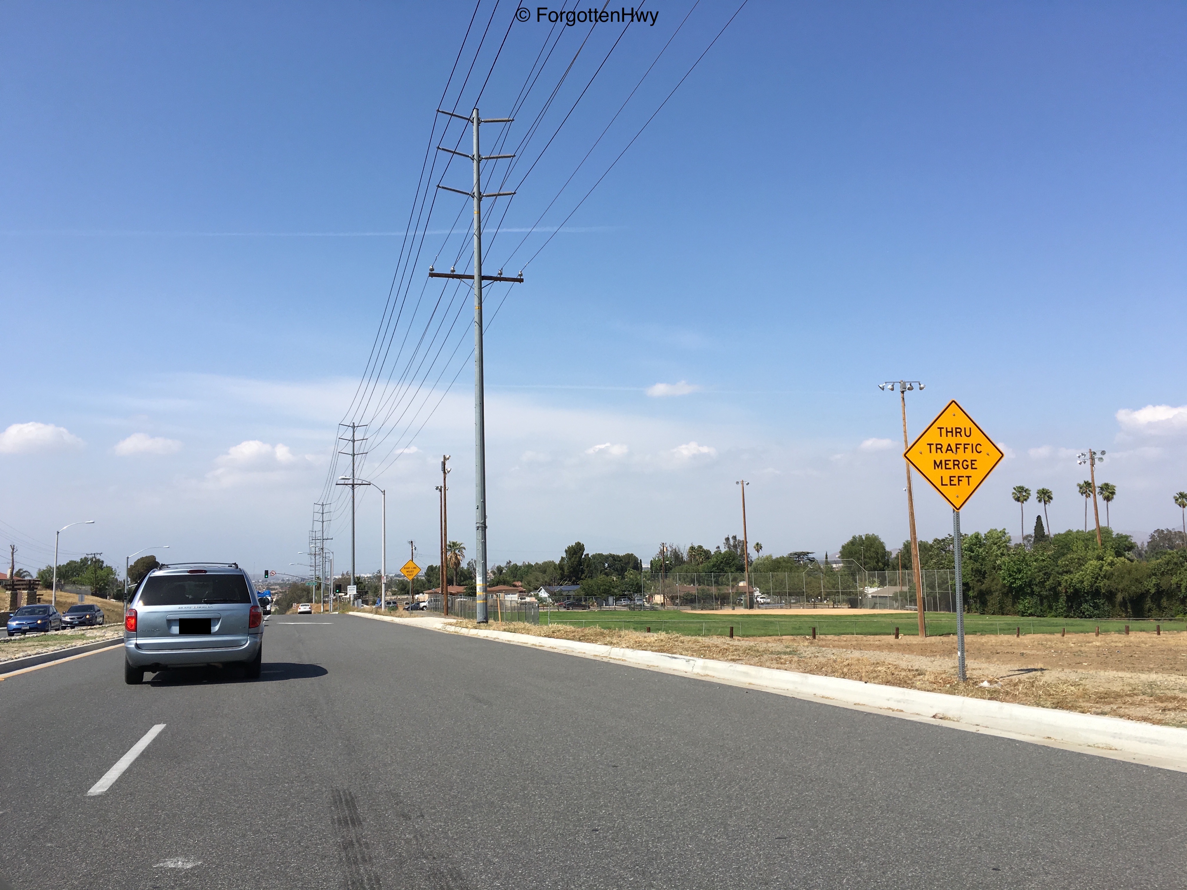
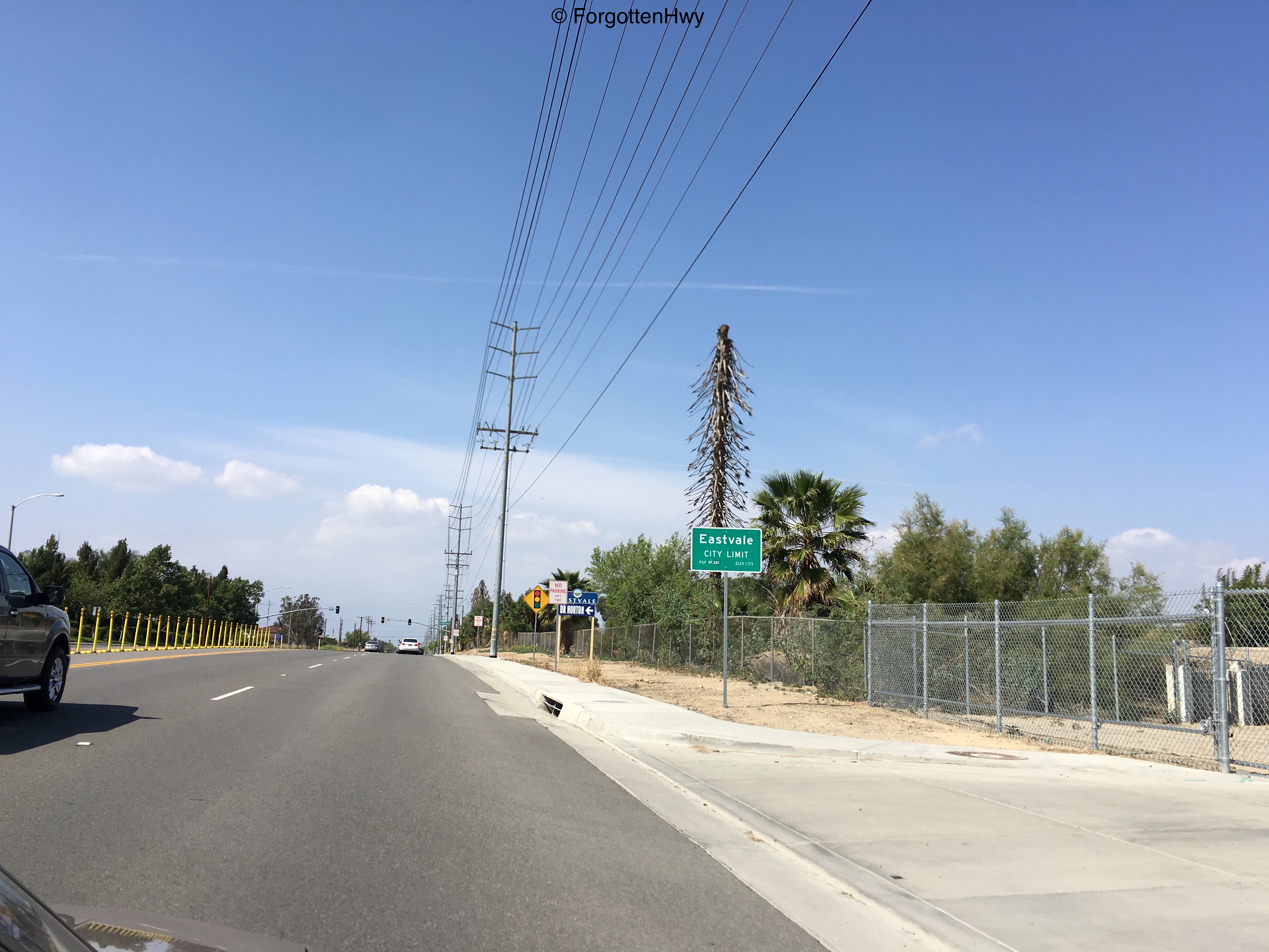
We upgrade to a 50mph speed limit as we enter the city of Eastvale.
Eastvale, a relatively new city (incorporated in 2011), was formed out of part of former Mira Loma and unincorporated Riverside county. The the same time, Jurupa Valley (which we won't pass through) took the remaining portion of Mira Loma and another chunk of unincorporated Riverside. |
