
State Route 71, Part One
Grand Blvd in Chino to the Northern End of the Freeway.
Skip to:
Part 2
Part 2
SR 71 is in danger. CalTrans is getting ready to (finally) upgrade the remaining portion of the Corona Expressway to the Corona Freeway. Most of the route dates back to the 1950s - some parts are even older. The section between Mission Blvd and I-10 dates to at least the 1940s. Why? Everything north of Mission used to be part of the US Highway System. US 60 traversed this route by itself starting in either 1926 or 1932, going from Ramona Ave (now San Bernardino Fwy/I-10) to Holt Blvd. When US 70 was extended to Los Angeles in the 1930's, it originally followed the routing of US 60. By 1935 though, US 99's routing changed from Foothill Blvd (co-signed with US 66) to Holt Blvd. Shortly thereafter, US 70 moved up to Holt Blvd with US 99. All three routes merged at the western edge of Pomona. Past Holt Blvd, the route continued as US 60/70/99 until it reach Ramona Ave and went west at and through Kellogg Hill.
Today, SR 71 still uses this route for it's modern alignment. Quite a few of the original bridges still remain from the US Highway's heyday. All of this is set to be upgraded or replaced over the next couple years as the 71 is finally becoming a full freeway. While it is welcome to see that the 71 will no long bottleneck entering Pomona as it has for quite a few years, it's sad to see a part of history be destroyed. It's unknown to me if this was CalTrans not having the money or if the community was against California upgrading the expressway to a full freeway, either which way a lot of work is going to need to be done and I want to get what I can archived before it's too late.
71 is a stub of it's former self, originally running from San Diego to Claremont. South of it's current point, it was parted out and parts were transferred to I-15, SR 74, 79, and 371. 74 and 79 added to their existing routings, while 371 was new; ironically it's numbered as a spur of it's former self.
Click on any image to enlarge it.
|
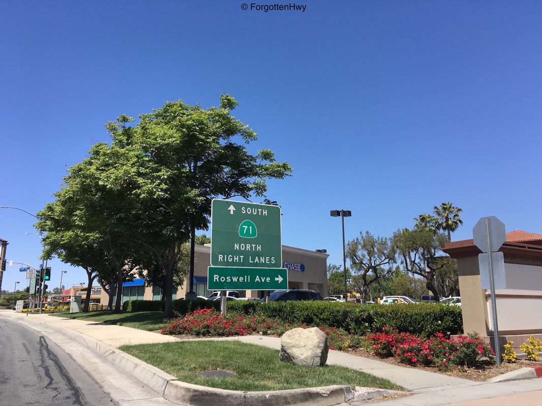
Getting on at Grand Ave. The 71 separates Chino from Chino Hills at this point. Being east of the freeway, we are technically in Chino. I don't understand why they replaced the shields on these next two signs, but the age difference is obvious.
|
|
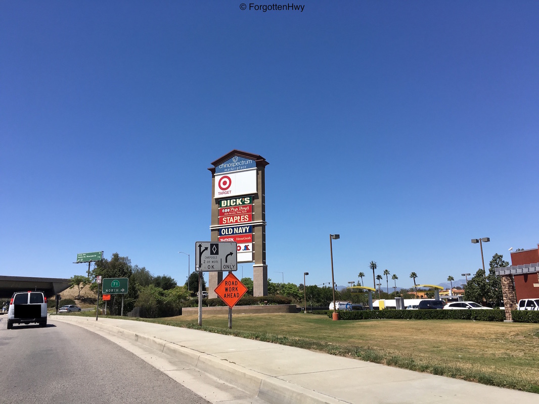
This interchange was recently upgraded for the Carpools Lanes that CalTrans added just a few years back. This is obiously in place for when the Carpool lanes run the entire length of the freeway, but either which way CalTrans will probably replace them again anyway since they have dropped the 'Carpool' designation for just 'HOV'.
|
|
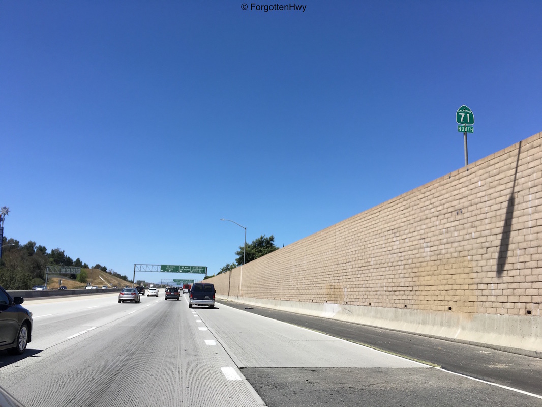
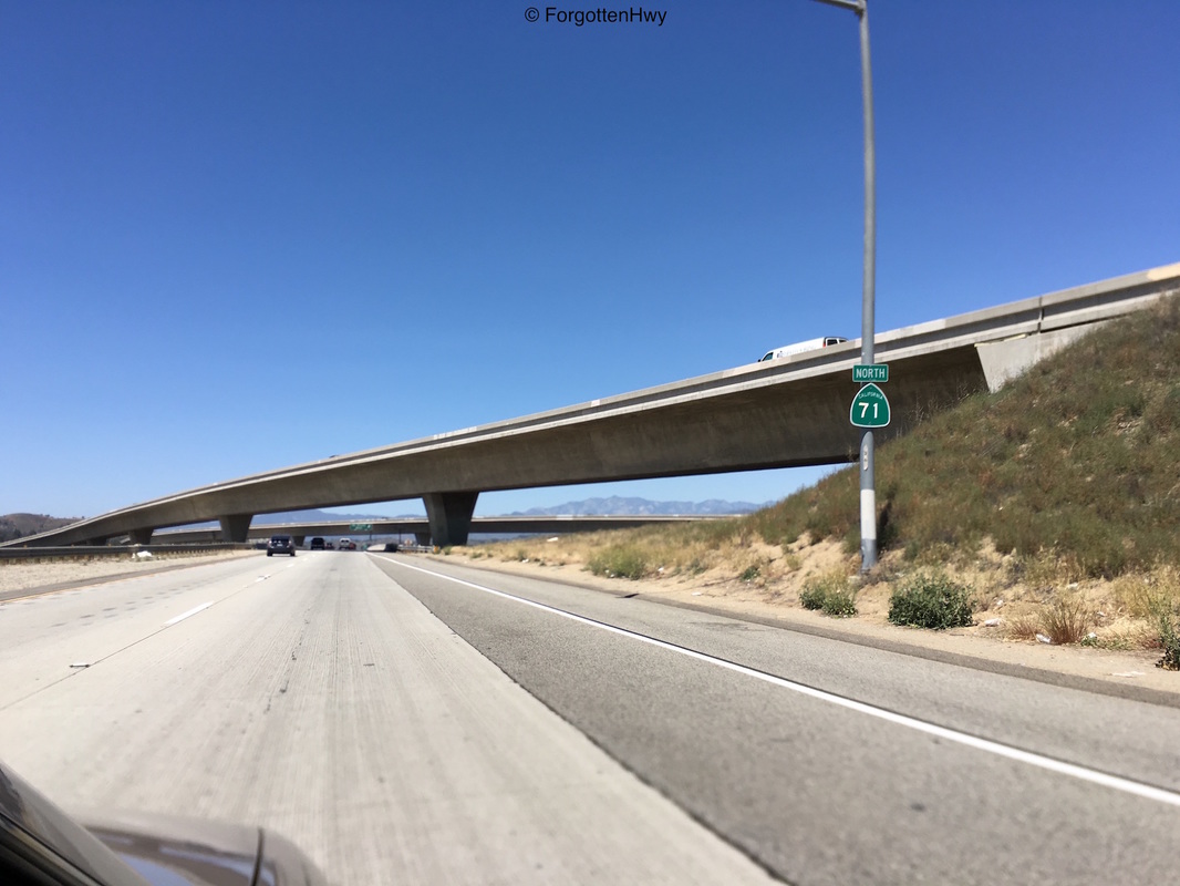
Getting on the freeway. Notice the disproportionate '71' in the State Route shield. It seems District 8 is having issues with making signs for the 71 correctly. Note the newer AASHTO-compliant 'North' directional plate. Still don't understand the purpose of this as '71 North' makes more sense then '71 N' on an assembly like this. The sizing drives me nuts.
|
|
Final merge onto the freeway. Note the older 71 reassurance shield with the old-style 'North' plate.
|
|
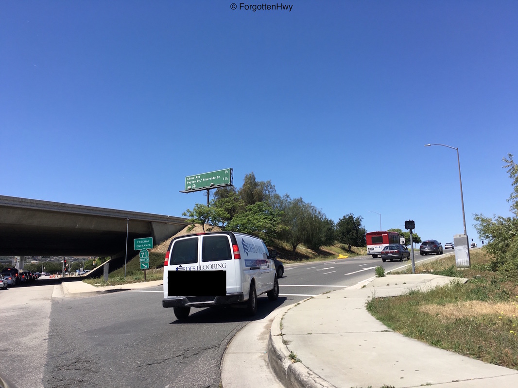
The AASHTO requirement of route numbers killed California in the beginning and they were able to get an exception about using them. Recently, CalTrans has been more on top of using them, although when the slap newer retroreflective crap like this on top of a older enamel sign it really grinds my gears. It should be illegal. Replace the whole sign or don't disturb it. Ironically this sign went up in the early 2000's when the freeway was extended up to here, and CalTrans still didn't want to put the exit number on the overhead signage.
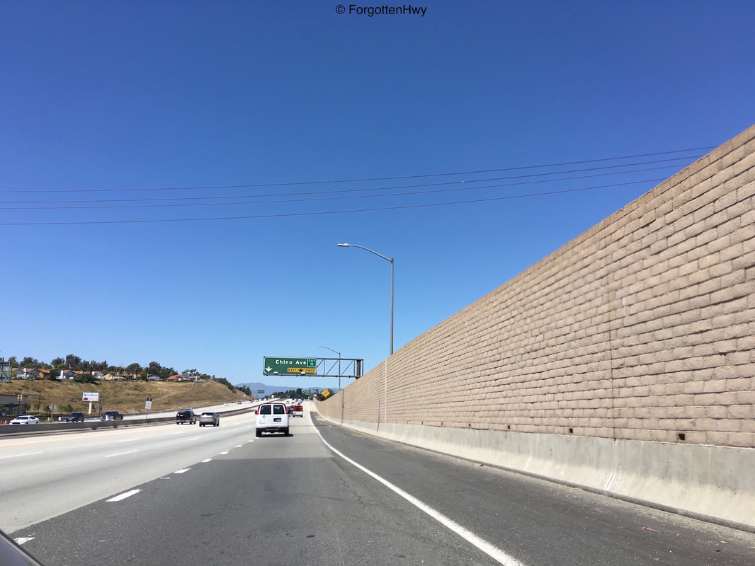
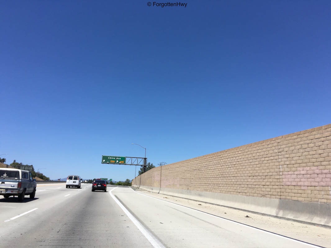
Oh, Chino Ave Exit coming up btw. |
|
Exit: Chino Ave.
|
|
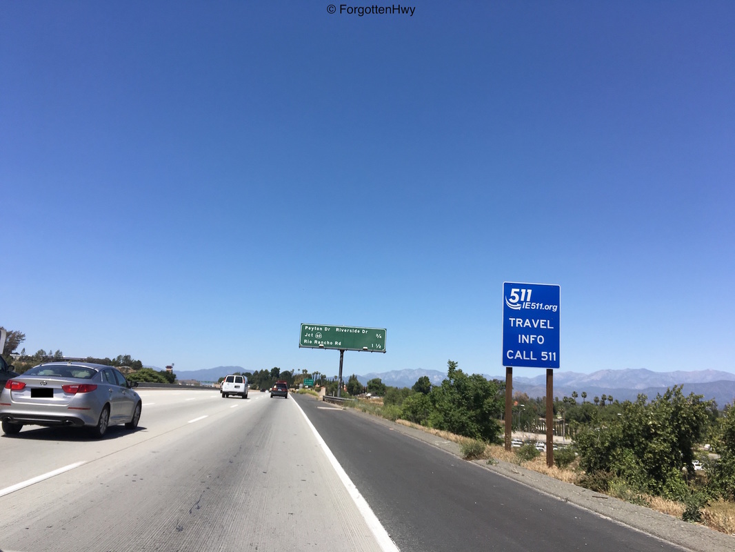
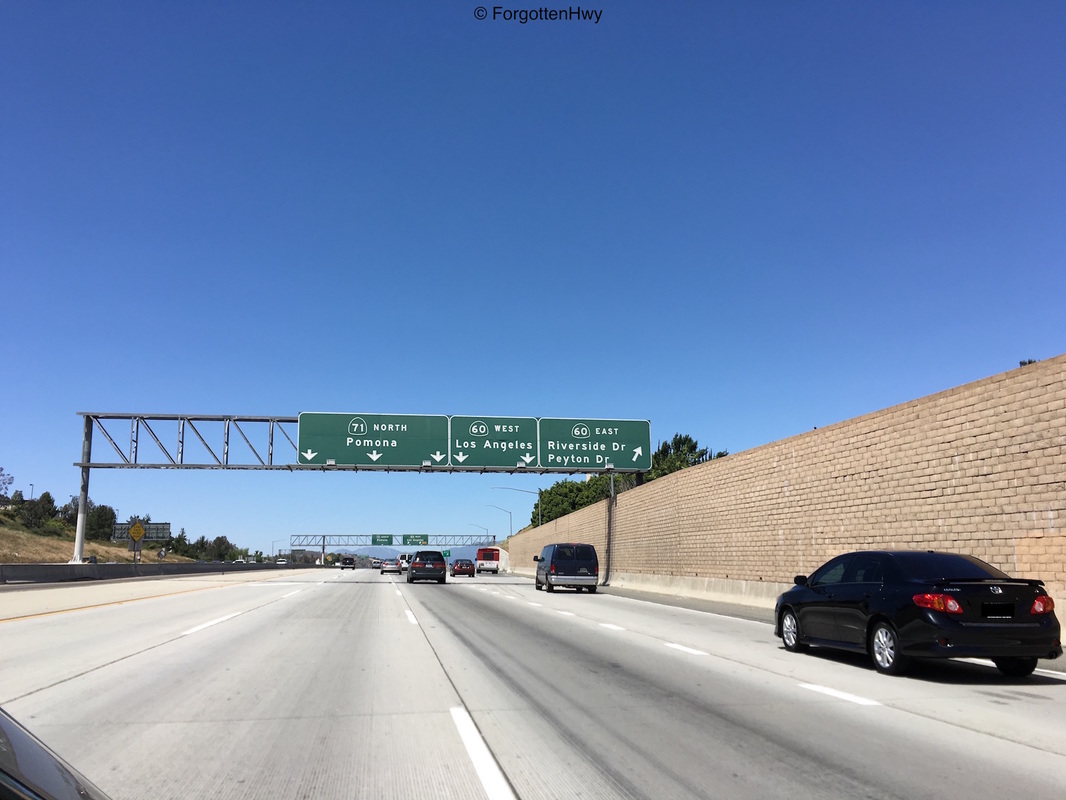
Advance signage for Peyton, Riverside Drs and SR 60 (.75 miles) and Rio Rancho Rd (1.5 miles).
|
|
Very odd signage. The SR 60 is elongated and more pointy to make room for 'California' in the shield. A standard miners lump would have sufficed Caltrans.
|
|
NB SR 71.
|

|
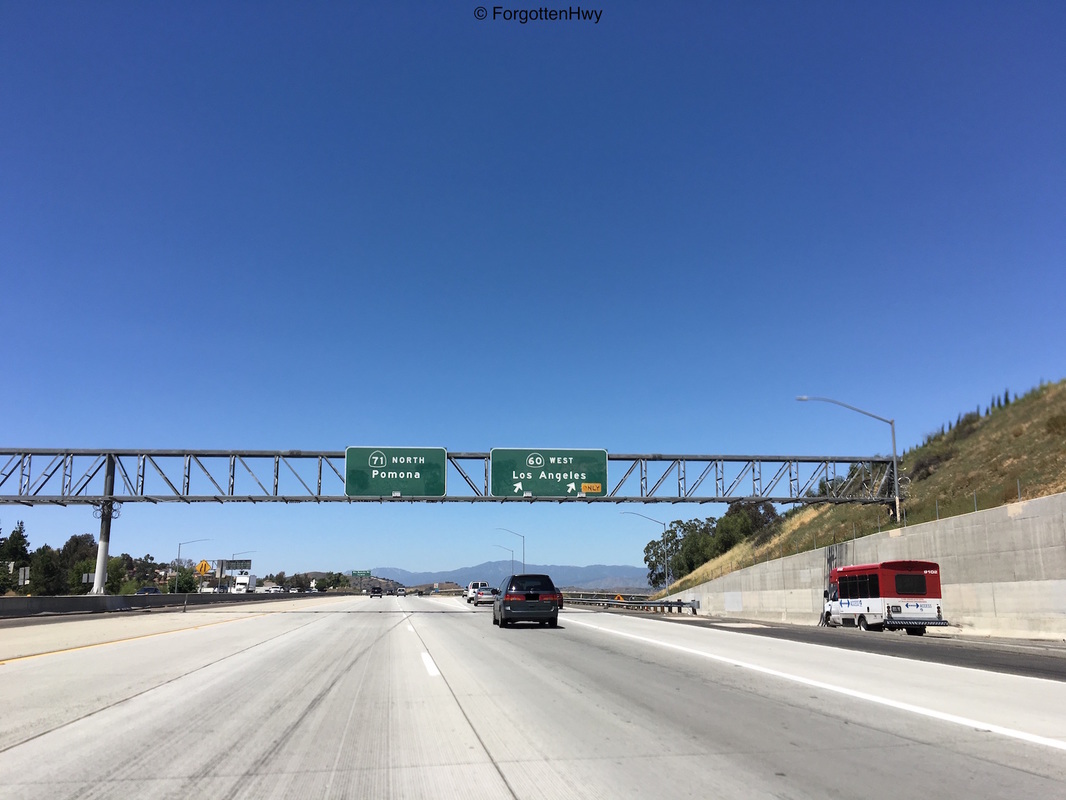
Beautiful, late button copy signage for the SR 60 merge. This dates to about the 1990's. Hard to believe Caltrans was still using button copy back then.
|
|
Look! A twin! Note how the 71 sign is using the more pointed SR shield while the 60 is very round and relaxed.
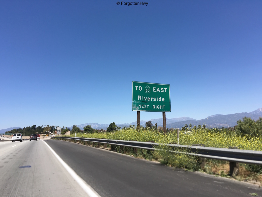
EB SR 60 traffic have to get off the freeway at Riverside/Peyton, continue north on Garey Ave and merge onto the 60. SB 71 to WB 60 traffic is even worse sadly, and it's unknown if Caltrans will be able to buy back the property necessary to complete the interchange. This is a hold over from when SR 71 ran on Garey Ave. |
|
Exit: Riverside Dr/Peyton Dr TO SR 60 East.
Exit: SR 60 West |
|
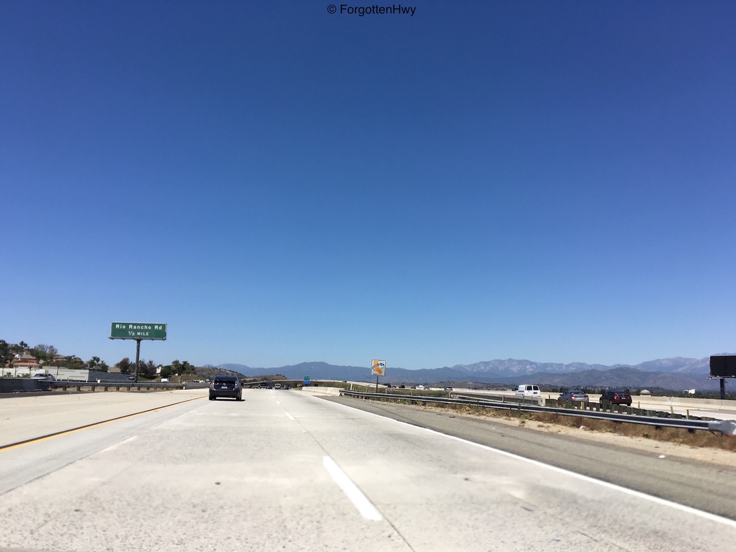
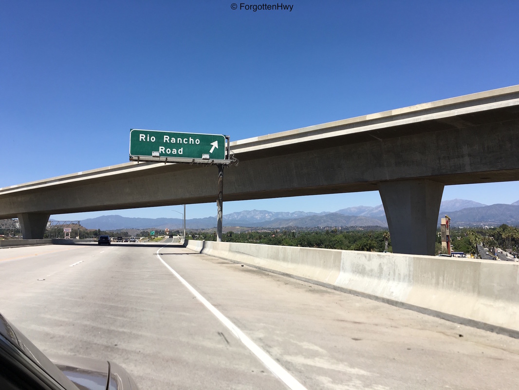
Advanced signage for Rio Rancho Rd (.5 miles) just after the 60 separation. Pomona City Limit sign in the background.
|

|
A very blurry shot of the zero out marker for San Bernardino County. You try taking photos on a freeway going 60mph with a 20mph wind blowing.
|
|
A conehead-shaped reassurance shield just before we cross under the SR 60 WB flyover and the Rio Rancho exit. Pylon for the separation has us at R4.47. Wait, what?
|
|
Exit: Rio Rancho Rd. We reach a 'cresting' point of sorts.
|
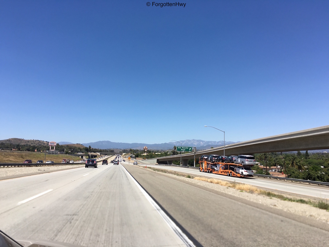
|
Before going down from the SR 60 interchange, we get this great view of the freeway. Note the sign for Rio Rancho. That's for WB 60 traffic as it's NB 71 separation is signed for both.
|

|
NB SR 71.
|
|
The Rio Rancho Overpass. Note the lack of a center support. Very odd for Caltrans.
|
|
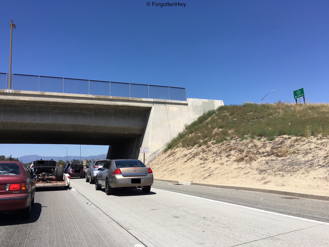
Pylon for Rio Rancho. MM3.61. I think District 7 is counting wrong. It should be increasing as we head north, not decreasing.
|
|
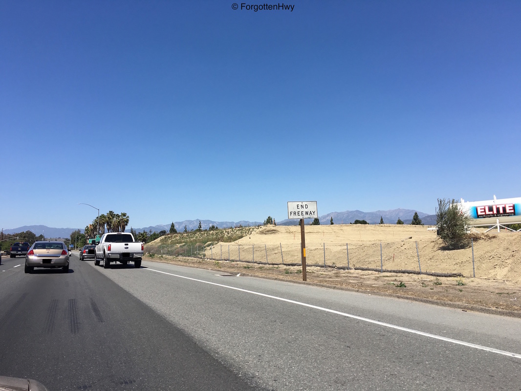
END Freeway. This is just after the end of the Rio Rancho onramp.
|
